Start with a reason
A route might begin with an interesting landscape, a missing connection, an existing community route, a historic corridor, or simply the question: could these places be connected well by bike?
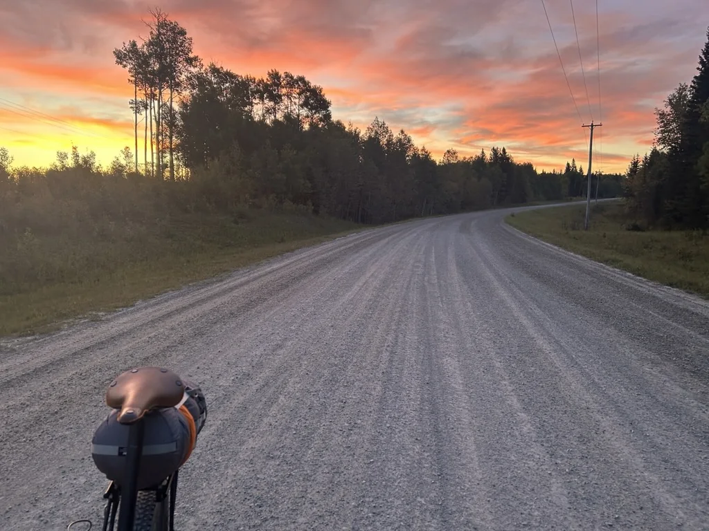
Most routes in the ABS library come from the community. ABS keeps origin and information status separate so riders can see both who created a route and how much of its planning record ABS has independently documented or checked.
Anyone can draw a route.
Publishing one responsibly takes more work.
A useful route is more than geometry. Riders need to know whether the connection exists, whether they can legitimately travel through it, what the surface is actually like, where water and resupply can be found, how remote the riding becomes, and what has changed since somebody last checked.
ABS tries to make that work visible. Creator attribution stays attached to Community Routes, ABS Projects are identified separately, planning information carries an evidence state, and uncertainty stays on the page rather than being smoothed over.
The result is not a promise that a trip will go exactly as planned. It is a route record designed to help a rider make better decisions before leaving home.
Community Route means the route was created independently by a rider, group or organization. ABS Project means ABS is directly developing the route. A separate ABS information status—Indexed, Development, Beta or Verified—shows how complete the Society’s own record is.
Researching, verifying, stewarding or mapping a Community Route does not make it an ABS-created route.
Indexed, Development, Beta and Verified are not quality scores. They describe the state of the ABS information record—not the value or authorship of the underlying route.
A route might begin with an interesting landscape, a missing connection, an existing community route, a historic corridor, or simply the question: could these places be connected well by bike?
The route is identified and attributed, with its original source attached, but ABS has not yet completed enough independent review to describe its information record as Beta or Verified.
A concept, partial line or changing route. It may be visible as a project, but it is not presented as a finished navigation resource.
A complete line exists and has been ridden, but some logistics, access, surface or verification information remains incomplete. Riders should expect visible uncertainty.
The complete route has been field-ridden and the required planning record has been completed and reviewed, including verification information and current responsible sources.
Verification is a point in time, not a permanent guarantee. Routes continue to accumulate reports, source checks, field observations and revisions after publication.
A Route Alert is a temporary flag applied when fire, a closure, washout, access change or another issue affects a Beta or Verified route. The underlying route can remain Beta or Verified while the alert tells riders something important has changed.
Route development is less about drawing a perfect line and more about finding out what that line actually means on the ground.
Read more about Alberta access →Does the connection exist? Satellite imagery, map layers and old tracks can outlive roads, bridges and trails.
Can riders legitimately use it? Physical rideability and legitimate access are separate questions.
What will it feel like? “Gravel” can mean maintained road, deep fresh rock, clay, doubletrack or something much rougher.
Can a rider plan around it? Water, food, camping, parking, season and bailouts matter as much as distance.
What is current? Services, closures, land-use rules and infrastructure can change faster than route geometry.
What still is not known? An unresolved question stays visible until the evidence becomes stronger.
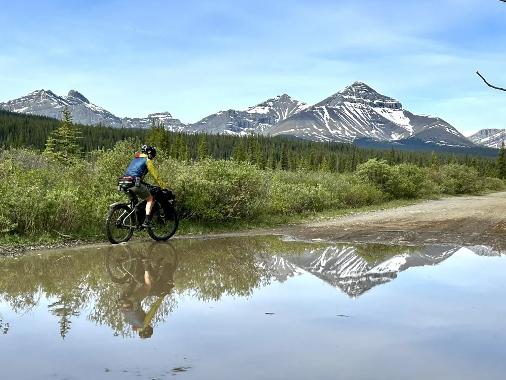
A field observation, a current government notice and a rider report can all be useful. ABS keeps them distinct so the route page does not imply more certainty than the evidence supports.
Observed by an ABS verifier while riding or checking the route, with a date when practical.
Confirmed from a current authoritative or responsible source such as a land manager, campground operator, government notice or access manager.
Useful information supplied by a rider or contributor that ABS has not yet independently checked.
Incomplete, uncertain, contradictory or not yet sufficiently researched. The gap stays visible rather than being guessed away.
Source verification is not field verification. Rider experience is not automatically source verification. Each can be valuable without pretending they are the same thing.
The ABS Route Standard gives every published route the same information hierarchy. Beta routes may contain clearly marked gaps; Verified routes should have the complete planning record.
Name, region, route type, distance, climbing, high and low points, route version and public navigation source.
Typical duration, overall difficulty, physical effort, technical difficulty, remoteness, surface and meaningful hike-a-bike.
Season, start and parking information, direction, permits or fees, camping, water, resupply and bailout information.
Closures, private-land concerns, sensitive areas, industrial traffic and community considerations where they matter.
Field observations, responsible-source research, rider reports, open questions and important source-check dates.
Maturity, route version, last field verification, verifier or steward attribution, unresolved items and active alerts.
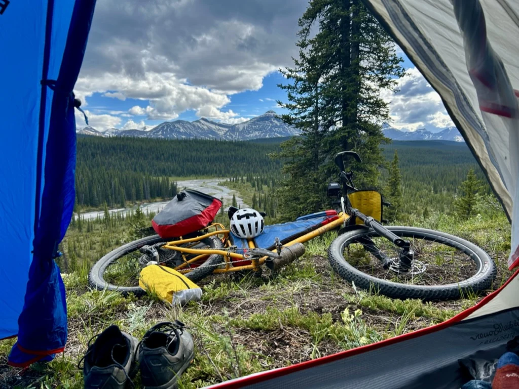
The Cardinal Divide page established the reference model: status and key stats first, full route map and elevation, then the planning record, evidence, current sources, open verification items and route-specific photography.
Some routes are developed or maintained by their original creator. Contributing a route to ABS does not require transferring ownership.
Creators retain ownership, publication permission is non-exclusive, and attribution stays visible where practical. Navigation can remain hosted on the creator’s existing public source while ABS adds the common planning, evidence and stewardship record around it.
This lets ABS support good existing work without pretending it created it.
Floods remove bridges. Wildfires change forests. Businesses close. Access rules change. Roads are decommissioned. A route can be carefully verified and still become outdated later.
That is why Beta and Verified route pages carry a route version and field-verification information. Changes should be recorded rather than silently replacing the old route.
If a route is no longer appropriate to recommend or maintain, ABS can archive it rather than leaving an old line presented as current.
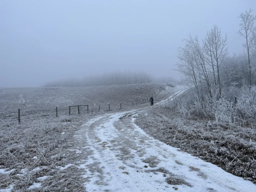
Route maintenance becomes more useful when information can move back from the field into the public record.
A closure, washed-out bridge, missing water source, service change or access concern can be submitted with a date, location and evidence type.
Report a Route Issue →Local knowledge, planning sources and information that does not fit a specific route issue can still strengthen the wider Alberta resource.
Contribute knowledge →Route Stewards can provide continuity through periodic field checks, planning updates, access information, evidence quality and route-specific knowledge.
Become a Route Steward →ABS is not trying to make every route look certain. A useful route record tells you what has been ridden, what came from a current source, what another rider reported, and what still needs work.
That transparency is part of the route—not an apology for it.
A route is more than a line on a map.
The line is the easy part.
The interesting part is everything required to make it useful to somebody else.