GRAAB Challenge
GRAAB the bull by the horns and go for an adventure!
GRAAB — Gravel Across Alberta
Ride your bike across Alberta on mostly gravel roads and take pictures of the required landmarks along the way.
Route map
Interactive route map and elevation profile from Ride with GPS.
Loading the GRAAB Challenge route from Ride with GPS…
Open GRAAB Challenge in Ride with GPS →Ride with GPS is an external mapping service. Creator attribution and the original route source remain attached to this Community Route; ABS planning notes and information status reflect the Society’s own documentation of the route.
Planning record
The route line and ride history are established. Planning information below combines the supplied route record with the creator’s published 2021 ride report; current services and conditions should still be checked before departure.
A cross-province challenge
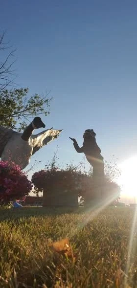
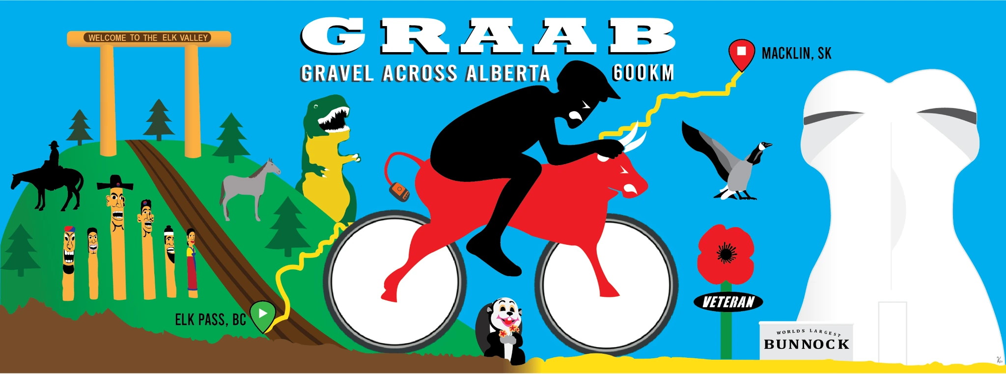
The GRAAB concept was built around crossing Alberta on the road less travelled while photographing landmarks along the way. The creator chose Elk Pass as the western start and the World’s Largest Bunnock in Macklin as the eastern finish.
The start line is part of the challenge
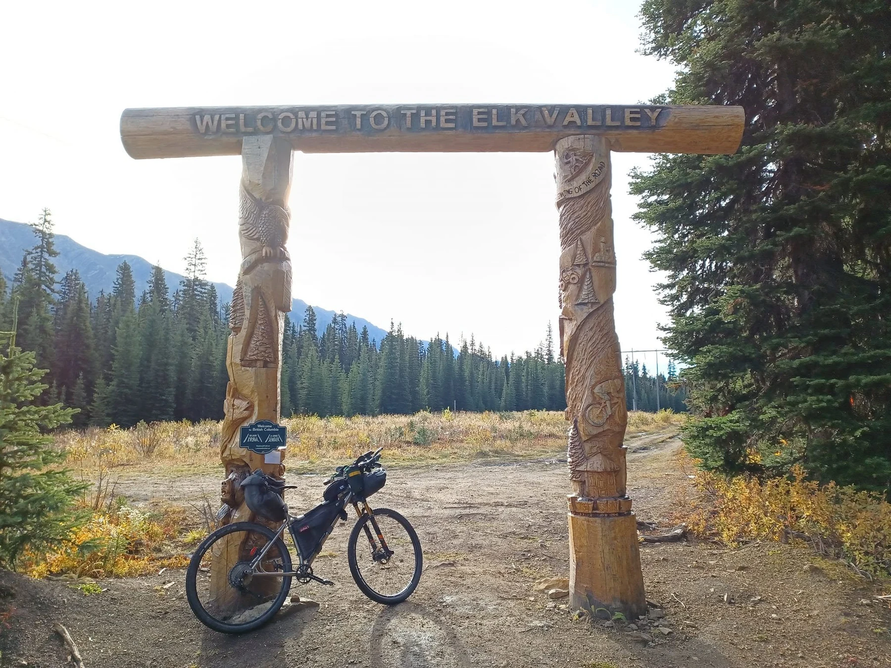
The Elk Pass start cannot be reached by vehicle. The creator’s inaugural ride began with roughly 5.5 km and 270 m of climbing from the Boulton Creek area before reaching the border/start landmark.
Not all gravel is easy gravel
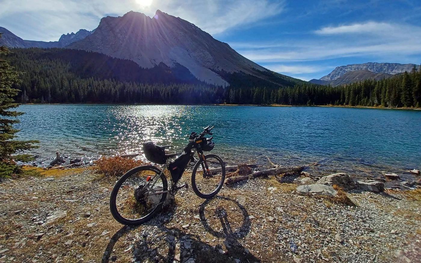
The western mountain section includes steep, rocky trail and the eastern end can include thick gravel, sand and lightly maintained service roads. The route remains technically straightforward overall, but surface difficulty varies considerably.
Physical Effort 3 — Challenging · Technical Difficulty 1 — Straightforward · Remoteness 1 — Connected.
The creator rode 50 mm tires with a suspension fork and noted that the mountain section would be rough on a skinny-tire rigid gravel bike.
Predominantly gravel roads across the province, with shorter sections of pavement, double track, singletrack, rocky mountain trail and sandy service roads.
The start at Elk Pass is entirely snow dependent, and could require waiting until late June for complete snow removal. Late summer can become very hot in the eastern portion of the route, with Drumheller and Hanna reaching temperatures around 30°C.
The 2021 trial ride used a mix of campground and informal sleep stops. Boulton Creek, Little Elbow and Beiseker appear in the creator’s account, but ABS has not yet built a current campground-by-campground itinerary.
The creator refilled in communities and carried between stops. Current water-source reliability outside towns has not been documented by ABS.
The 2021 ride report documents food or water stops in Cochrane, Airdrie, Drumheller and Hanna. Hanna was described as the final resupply before roughly 220 km to the finish.
The challenge begins at the Elk Valley / Alberta border near Elk Pass and finishes at the World’s Largest Bunnock in Macklin, Saskatchewan.
There is no parking at the start line. In fact you can't even drive to it. The start line requires a roughly 5.5 km climb up 270 m from the Boulton Creek area in Kananaskis.
The route record does not yet contain a current permit or parking-fee review. Check current requirements for any parks or recreation areas used at the time of your ride.
The Elk Pass start line is not vehicle-accessible. The route begins after approximately 5.5 km and 270 m of climbing from the Boulton Creek area.
The creator’s ride report describes hikers, horses, farm roads and gates. Slow or stop for horses, respect other trail users, and leave every gate as you found it.
Current planning sources
Source review updated August 2026. External conditions can change; check the linked sources before riding.
Planning information still being expanded
From Elk Pass to the Alberta–Saskatchewan border.