Cardinal Divide
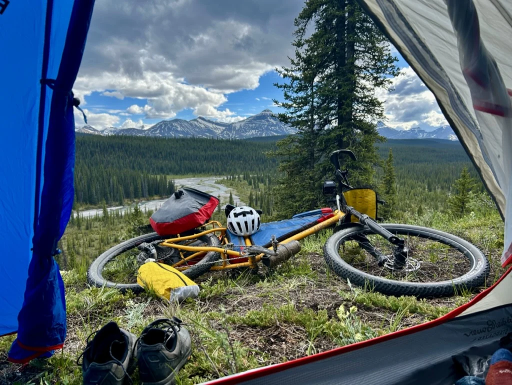
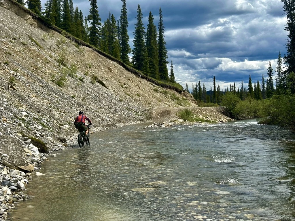
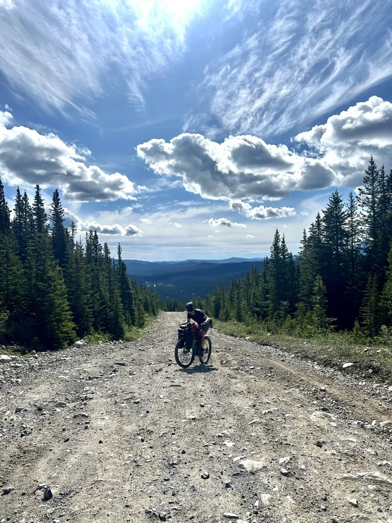
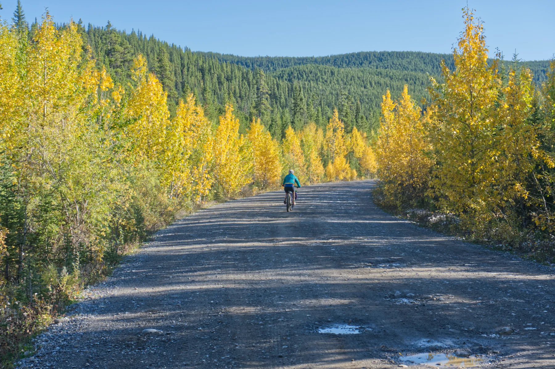
A 106 km accessible overnighter through the Cardinal Divide country of west-central Alberta, mixing gravel roads and double track with a rougher south-side descent from the divide.
An accessible overnighter into the Cardinal Divide.
This 106.4 km loop mixes gravel roads and double track through west-central Alberta. The complete line has been ridden end to end and the core planning record now includes difficulty, season, parking, camping, water, surface, resupply and access notes. It remains Beta while several verification details are still open.
Route map
Interactive route map and elevation profile from Ride with GPS.
Loading the Cardinal Divide route from Ride with GPS…
Open Cardinal Divide in Ride with GPS →Ride with GPS is an external mapping service. Creator attribution and the original route source remain attached to this Community Route; ABS planning notes and information status reflect the Society’s own documentation of the route.
Planning record
V0.2 separates field/GPS knowledge from current external research. Source-verified information is useful for planning, but it does not by itself move the ABS information record to Verified status.
Start / finish — Whitehorse Creek PRA
The GPX begins beside Whitehorse Creek. The route record identifies Whitehorse Creek PRA as the start/finish and reports that overnight parking is permitted for backcountry hiking and biking. Current operator information also identifies Whitehorse Creek as an established seasonal campground southwest of Cadomin.
Established camping — Cardinal River Campground
Cardinal River Campground lies directly on the GPX at approximately route kilometre 30.7. Current operator information identifies established campsites and toilets. ABS still needs to document how this location fits a recommended itinerary and confirm bike-specific considerations.
Public-land camping
Random no-service camping is currently permitted in the Coal Branch Public Land Use Zone, with a Public Lands Camping Pass required where applicable. ABS has not yet designated or recommended informal overnight locations on this route; any future recommendation should be checked for legality, access and stewardship suitability.
Physical Effort 2 — Moderate · Technical Difficulty 1 — Straightforward · Remoteness 1 — Connected.
Drop-bar gravel bike with 45 mm+ tires or a mountain bike.
Mostly a mix of double track and gravel roads. The south-side descent from the divide can be rough with babyheads and is the most challenging section when towing a trailer.
The current route record recommends a June through September riding window.
Whitehorse Creek at the start/finish and Cardinal River Campground at approximately route km 30.7.
Known sources include Whitehorse Creek and Cardinal River. Exact reliability, additional source kilometres and longest dry carry still need to be documented. Treat natural water.
No resupply is identified on the route.
The route record does not identify a preferred direction.
Overnight parking is reported as permitted for backcountry hiking and biking.
The route record notes that the pass applies to random camping in the Coal Branch PLUZ. Verify current requirements before riding.
Coal Branch / Cardinal Divide access can change with public-land management, industrial activity and reclamation.
The route record notes that the trail can be heavily trafficked by the off-road community. Ride predictably and share the corridor respectfully.
Current planning sources
Source review updated August 2026. External conditions can change; check the linked sources before riding.
What remains before Verified status
West-central Alberta by bike.