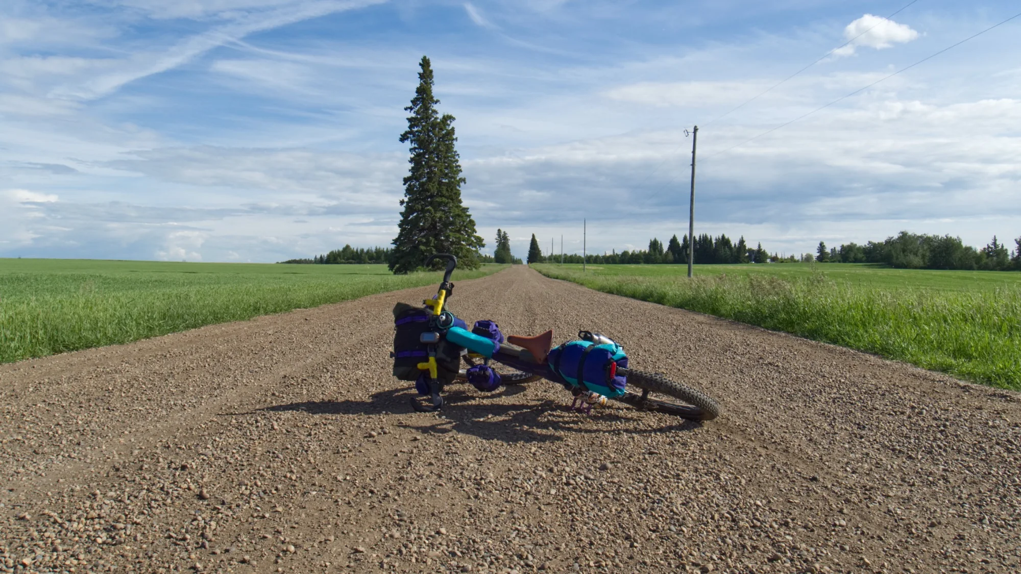
Bikepacking in Alberta
A route can leave a mountain town in the morning, climb into a landscape that feels completely remote by lunch, and finish the day beside a river with nobody else around. Somewhere else, a trip might mean two days of rolling prairie roads, abandoned rail grades, coulees, and small towns you would probably never have had a reason to visit otherwise.
Alberta has an enormous amount of space to explore by bike.
What it doesn't always have is a way to connect it all together.
Roads that look promising on a map or should have public access sometimes end at gates. Trails disappear. Forestry roads change. Small-town stores close early, or close altogether. Water can be everywhere in the mountains and foothills, and surprisingly difficult to find a few hundred kilometres farther east. A sunny morning can turn into cold rain, hail or snow before dinner.
None of that should discourage you from riding here. It just means Alberta rewards a little curiosity, preparation, and flexibility.
If you're starting to think about bikepacking in Alberta, this is what we would want someone to know before heading out.
Alberta Is Bigger Than the Mountains
When people picture riding in Alberta, the Rockies understandably come first. They are spectacular.
But some of the most interesting and unique bikepacking in the province happens outside them.
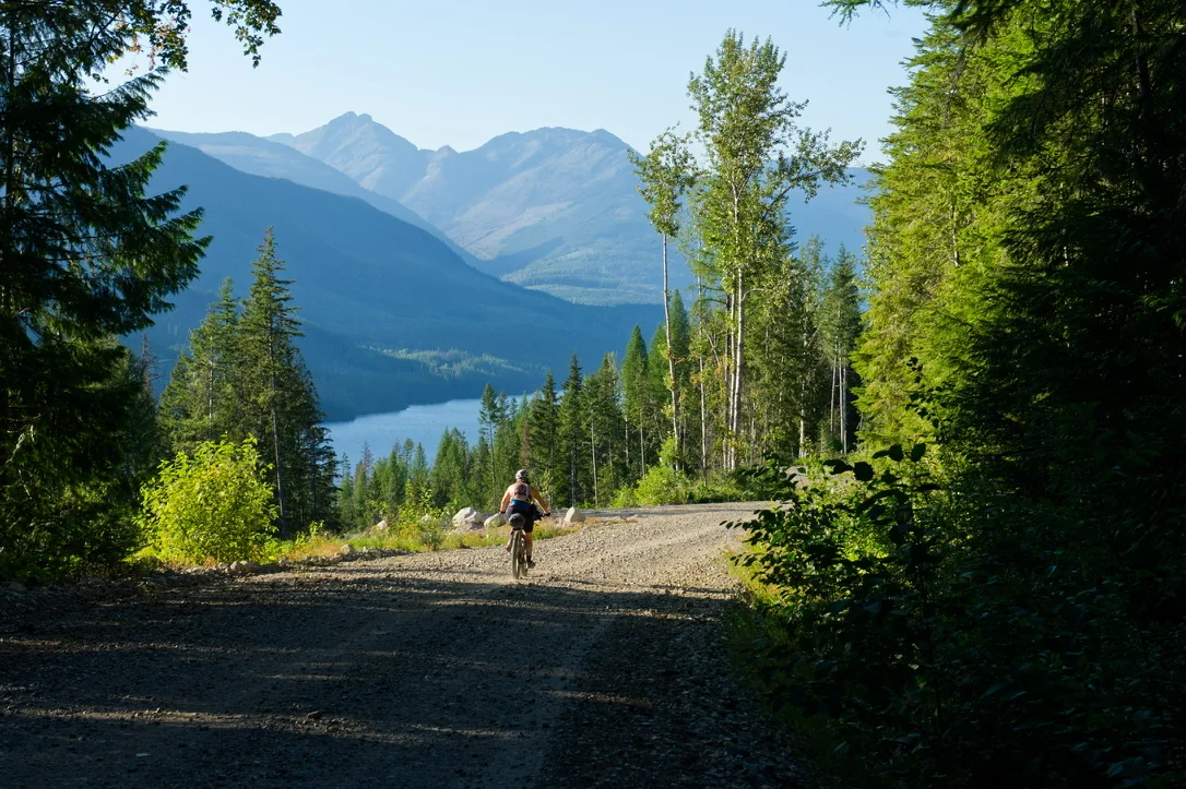
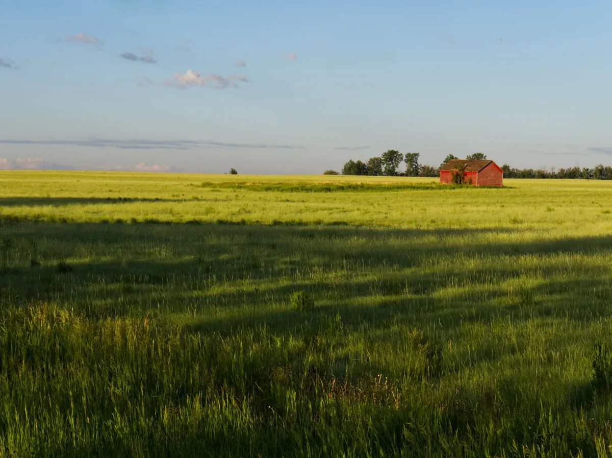
Along the eastern slopes, old forestry roads and trails wander through valleys, cutblocks, grazing areas, and working forests. To the east, the landscape opens into ranch country and prairie. Central Alberta brings river valleys, parkland forest, and endless grids of gravel roads. Follow the Red Deer River further east and those landscapes eventually begin dropping into coulees and badlands.
Each of those places asks something different from a rider. In the mountains, elevation and weather often control the day. In the foothills, road conditions and access can be harder to predict. On the prairie, wind may become the biggest climb you encounter all afternoon. And in agricultural country, a road that appears quiet and empty on a map may still be very much part of somebody’s working landscape.
That variety is one of the things we love about riding here.
It's also why it is difficult to make blanket statements about what "Alberta bikepacking" looks like. Sometimes it's a gravel bike and a campground. Sometimes it's a mountain bike, a creek crossing and a lot more pushing than you expected.
Usually it's somewhere between the two.
The Riding Season Is a Moving Target
One of the questions people naturally ask is: When does bikepacking season start?
There isn't a particularly satisfying answer.
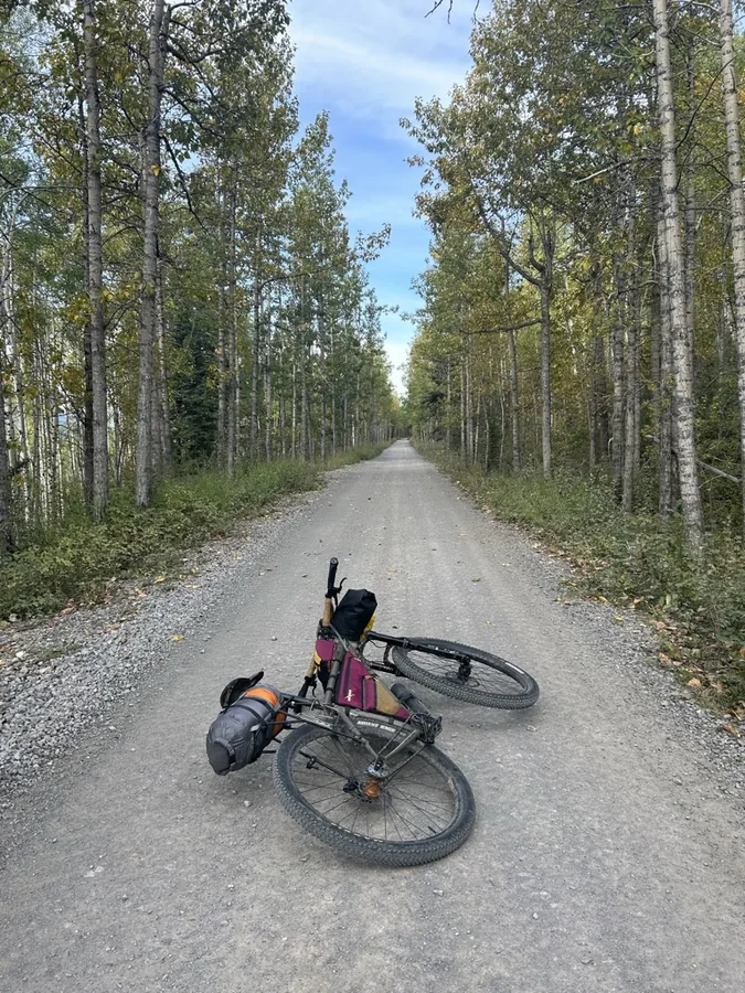
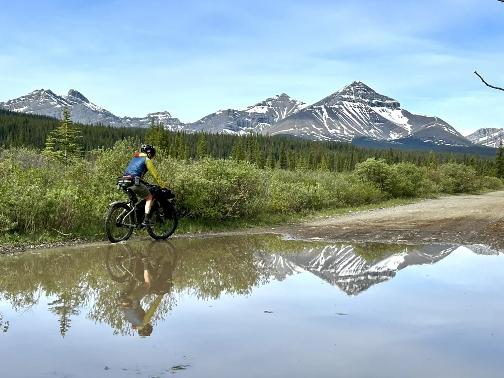
A dry gravel route east of Calgary might be perfectly rideable while a mountain route a few hours away is still buried in snow. Lower foothills roads can open early, while higher passes may not really come into shape until late June or early July.
For mountain riding, late June/July through September is generally the window we look toward first.
Even then, Alberta does not pay much attention to the calendar. We've all seen warm summer days followed by cold nights, thunderstorms that appear out of nowhere, and snow in the mountains when nobody particularly wanted snow. In fact, it snowed in August on our 2026 trip through Tombstone and the Sheep Valley trails.
Spring and fall can be fantastic times to ride elsewhere in the province. Cooler temperatures, quieter roads, and long views can make for incredible days. They can also bring mud, freeze-thaw conditions, short daylight and cold nights.
Rather than asking whether it is "bikepacking season," it is usually more useful to ask whether this particular route is ready to ride.
That's a question worth checking again a day or two before leaving.
Winter Doesn't Necessarily End Bikepacking Season
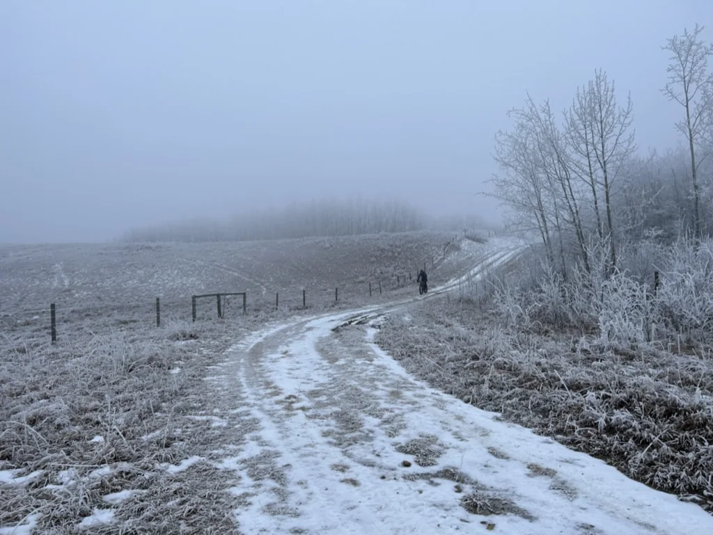
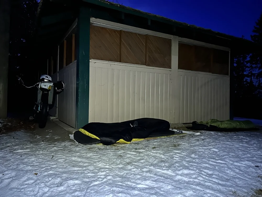
The routes may be different, the bikes may be different (wider tires with lower pressures allow you to “float”), and the distances certainly need to be adjusted, but an overnight trip by bike is still an overnight trip by bike.
What changes most is the margin for error.
A summer night that ends up colder than expected can be uncomfortable. In winter, being wrong about the temperature, your sleeping system, or how long it will take to reach camp can become a much bigger problem, and shorter days also leave less time to solve those problems before dark.
Distance becomes particularly difficult to predict. A firm packed surface can make for surprisingly quick riding, whereas a few centimetres of fresh snow, snow drifting across an open road, or a soft trail can turn the same kilometre into a completely different experience.
Equipment changes too, and you will find that more insulation takes up more space. Sleeping bags and even sleeping pads comfortable for winter weather are not going to pack the same as those for mid-summer. Water bottles freeze, batteries lose capacity faster in the cold, and foods that are perfectly convenient in July can become remarkably solid at -20°C. Even simple things like stopping for too long can leave you colder than expected once the heat from riding disappears.
One of the main winter concerns is moisture, which can be just as important to manage as temperature. Riding a loaded bike through snow can generate a lot of heat, even when the air is very cold. Getting sweaty on a climb and then standing around at camp in damp clothing makes for a poor combination, making managing layers throughout the day essential.
None of this means winter bikepacking needs to be an expedition. In fact, winter may be one of the better reasons to start small. A short overnight close to home can teach you very quickly how your clothing works, whether your water stays usable, how warm your sleep system actually is, and how much distance makes sense when snow becomes part of the route.
Weather Becomes Part of the Route
Anyone who spends enough time outside in Alberta eventually develops a healthy distrust of the forecast.
Not because the forecast is useless, but because conditions can vary so much over a relatively short distance. A comfortable morning in a valley doesn't tell you what the temperature will feel like after climbing another 1,000 metres, or in the adjacent valley. A prairie tailwind can become a crosswind, then a headwind, and somehow seem to make all three changes within the same afternoon, even when you didn’t change direction.
Rain matters too. Some gravel roads become better when they're damp. Others become almost impossible. There are parts of Alberta where a dry dirt road can be fast and enjoyable one day and turn into thick, sticky clay after a storm. Mud builds on tires, fills clearances and eventually turns riding into pushing. A prime example of this is found in the southeast Cypress Hills, where Gap Road becomes extremely muddy, slick, and difficult to navigate during or after rain.
Sometimes even pushing stops working very well.
When that happens, turning around isn't failure. Neither is finding pavement, changing the route or calling the day early. One of the useful skills in bikepacking is learning when the trip you planned is no longer the trip you're actually riding.
Water Deserves More Planning Than the Map Suggests
In the mountains and foothills, water can seem almost too easy. Creeks cross the road. Rivers follow valleys. Small streams appear constantly. We still treat or filter natural water before drinking it, and try not to assume a source will be flowing simply because it appears on the map.
Move east and the situation changes. Prairie routes can involve surprisingly long stretches without an obvious reliable source. Some water that looks tempting on a map runs through agricultural land. Dugouts, irrigation water, and small seasonal streams aren't necessarily the places you want to rely on.
Small towns help, but they shouldn't always be treated as guaranteed resupply.
A town may have a store. The store may theoretically be open. Neither of those facts necessarily means you'll be buying a cold drink there at 7:30 on a Sunday evening.
When we're looking at a route, we try to distinguish between possible water and water we're comfortable depending on. That little distinction matters quite a lot when you're carrying everything on your bike.
The Same Goes for Food
Alberta has hundreds of small towns scattered across the province, which can make resupply look simple when planning from home. Sometimes it is.
Rolling into a small-town grocery store halfway through a long day is one of the great pleasures of bikepacking. However, these services can change, sometimes without any online notice. Gas stations close, restaurants keep unexpected hours, and seasonal businesses disappear. Sometimes a community name on a map just represents a handful of houses rather than a place where you can buy dinner.
For longer trips, we like to know which resupply stops are genuinely important. If missing a particular store would leave you without enough food to reach the next one, that's probably worth checking before you leave. And carrying a little more food than the spreadsheet says you need has saved plenty of trips.
A Line on a Map Is Only the Beginning
This is probably one of the biggest lessons behind the Alberta Bikepacking Society. It is very easy to draw a beautiful route. It is much harder to know whether that route actually works.
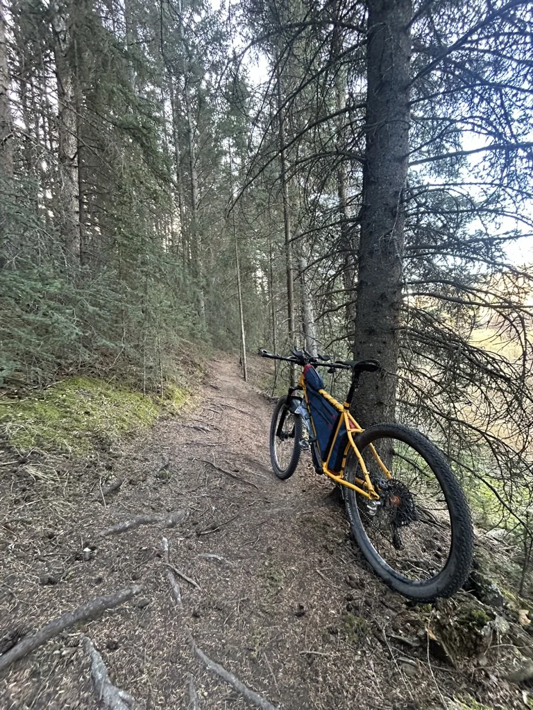
A line visible on satellite imagery might be a maintained gravel road. It might also be an old forestry road disappearing back into the landscape.
A trail shown on one map may no longer exist. A road may be physically rideable but not legitimately accessible. A bridge that appears in old imagery may be gone. A gate may have appeared since somebody last passed through.
This is why we try not to think of route building as tracing lines between interesting places. The line gets you started, then the questions begin.
That process is also why routes in the ABS library carry a visible information status instead of appearing as equally complete simply because a GPX file exists.
Some routes begin as ideas. Some are being tested. Some have been ridden and checked. And even a well-established route can change later.
Access in Alberta Can Be Complicated
One of the things that surprised us when we began looking more seriously at route development was how much Alberta's land-use patchwork matters. People often use "Crown land" as though it describes one giant category of freely accessible land. The reality is much more complicated.
Public Land Use Zones have their own rules. Provincial parks have others. National parks have others again. Agricultural public land may involve leaseholders and specific recreational-access requirements.
And then there is private property.
All of those can sit beside one another.
For riders, the practical takeaway isn't that Alberta access is impossibly complicated. It's that it is worth checking. If a route crosses leased agricultural land, look at the current access requirements—this can often be a simple phone call to the lease owner requesting access. If you're travelling through a Public Land Use Zone, check the rules for that particular area. If a connection relies on private property, don't assume that previous bicycle tracks or somebody else's GPX file equals permission.
There will be times when the perfect connection on the map simply isn't a connection we should use. That's okay.
We would rather have a slightly less elegant route that riders can use responsibly than defend a questionable shortcut because it makes the GPX look better.
Read the full Access & Land Use guide
Remember That Much of This Is Working Country
Some of the best riding in Alberta passes through landscapes that exist for reasons completely unrelated to cycling.
Forestry roads move logging equipment. Range roads connect farms. Trails cross grazing land. Resource roads serve industrial sites.
That means we are rarely the most important people using them.
Slow down around livestock, give large vehicles plenty of room, don't block gates, and leave gates the way you found them.
If someone is working, make it easy for them to continue working.
These are small things. However, bikepacking access depends partly on thousands of small interactions going well. A rider who behaves respectfully is forgettable in the best possible way. A rider who creates a problem may be remembered long after they're gone, while also causing problems for those after them.
Camping Can Look Very Different From One Route to Another
There isn't one standard Alberta bikepacking camping experience. Some trips link municipal campgrounds and small towns. Others use provincial campgrounds. Some head into established backcountry sites, while many involve random camping on public land where permitted.
If you're camping on public land in the designated Eastern Slopes area, Alberta's Public Lands Camping Pass may apply. The pass isn't a universal camping permit, though. Local regulations and restrictions still matter, so it's worth checking the specific area you're travelling through rather than assuming the pass answers every question.
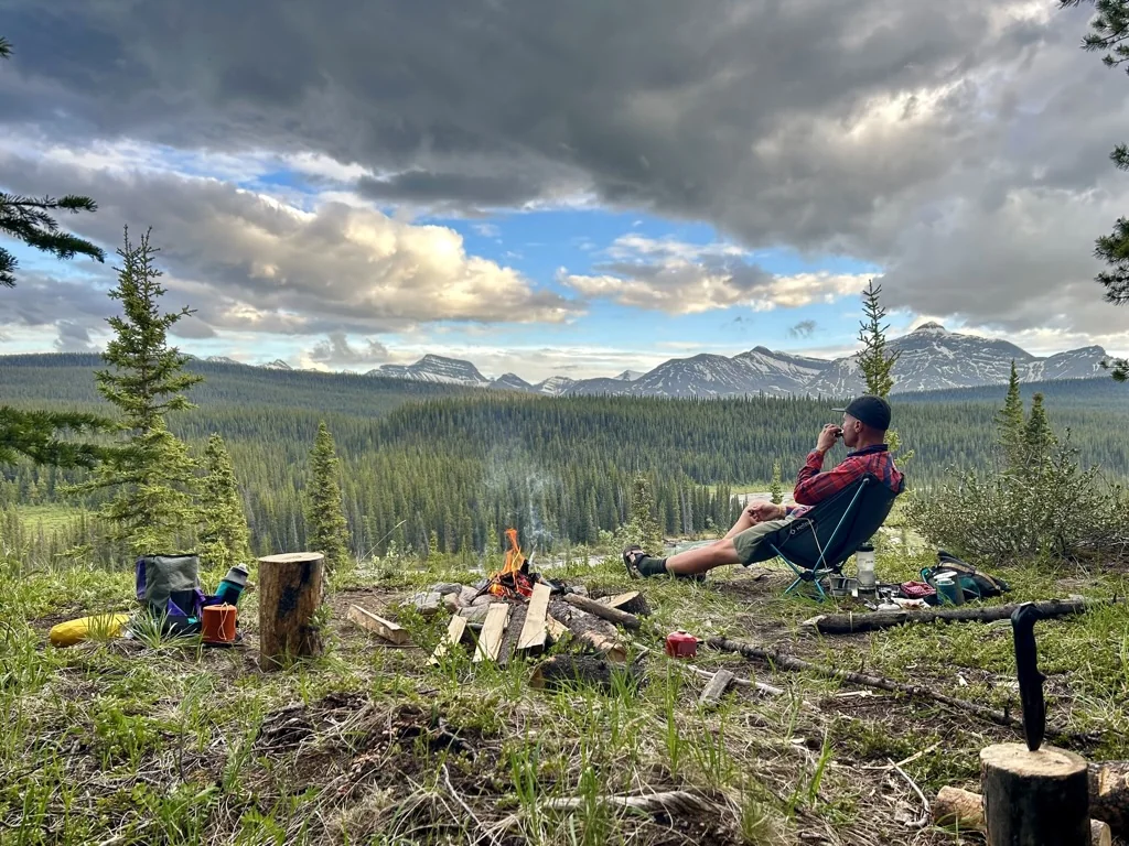
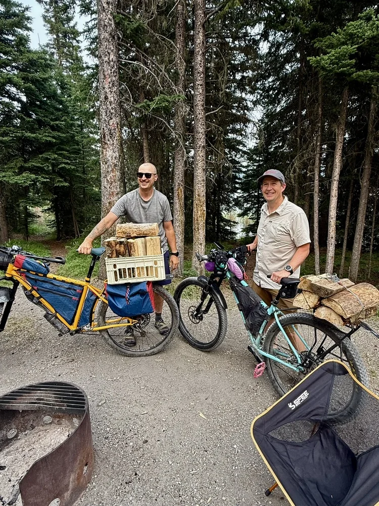
We also try not to plan trips around having a campfire. Fire restrictions are a normal part of Alberta summers now, and conditions can change quickly. A trip should still work if the campfire never happens.
The stars tend to be pretty good either way.
Wildlife Is Normal Here
Seeing wildlife while travelling by bike is one of the reasons many of us enjoy doing this. It also deserves plenty of respect. In mountain and foothills country, bears are top of mind. Cyclists can travel quickly and quietly enough to surprise wildlife at close range, especially on winding roads or trails with poor visibility.
Carry bear spray where it can actually be reached while riding, not underneath three layers of gear in a packed bag—and make noise when visibility is limited.
Food storage matters too, especially when camping. Keep it well away from your sleeping area, and inaccessible to wildlife—this includes what I affectionately call “ground bears”. These are the little critters that will happily chew through your drybag for that granola bar you are saving for breakfast.
Moose, elk and other wildlife deserve plenty of space as well. And if a trail or area is temporarily closed because of wildlife activity, that becomes part of the route conditions. It isn't a puzzle to solve by finding a way around the sign, not ignoring it.
Don't Count on Cell Service
There are parts of Alberta where you can see Calgary's skyline and still lose reception. Move farther into the foothills or mountains and long stretches without cellular coverage are completely normal.
Download your maps.
Download the route.
Have some way of navigating if your preferred app stops working.
Lastly, think about power before leaving.
For more remote trips, many riders choose to carry a satellite communicator. This can be a dedicated device such as a Garmin inReach, or a newer phone with satellite communication features. We think that's worth serious consideration when a route moves far from reliable communication or easy bailout options. Know how to use whatever you bring.
It is also a good idea to leave your route with somebody who isn't riding it. None of this needs to turn a bikepacking trip into an expedition. It simply gives you more options when something doesn't go according to plan.
So, What Bike Should You Ride?
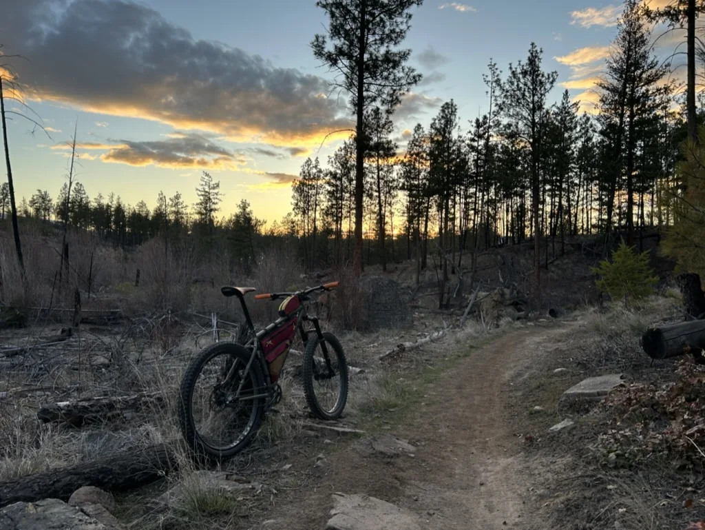
This might be one of the most common discussions nowadays. There isn’t just one bike that works for Alberta bikepacking. A route made almost entirely from maintained gravel roads might be fantastic on a gravel bike. Add rough forestry roads, washboard and loose descents, and bigger tires start looking appealing. Add sustained singletrack or rough mountain terrain and a hardtail may make the trip a lot more enjoyable. For mixed-surface riding, rigid mountain bikes and other all-terrain setups can make an enormous amount of sense too.
Just like bikes, there is no suggested tire width for Alberta bikepacking either. We'd rather describe the route well enough that riders can decide what makes sense for them.
As a broad reference, riders may be comfortable on roughly 40–50 mm tires for smoother gravel routes, while mixed forestry-road and rough-doubletrack routes often favour something closer to mountain-bike-sized rubber (2.35–3 inches).
But rider experience, bike handling, load, travel speed, weather, and personal preference matter enormously.
The same is true of gearing. Alberta has long climbs. A bike that feels pleasantly geared on an unloaded evening ride will feel very different after four days of carrying camping equipment and food. Low gears are useful. Walking is also allowed (single speed riders already consider this their other gear).
Some of the best trips include both.
“Gravel” Can Mean Almost Anything
This is another reason we're cautious with simple route labels.
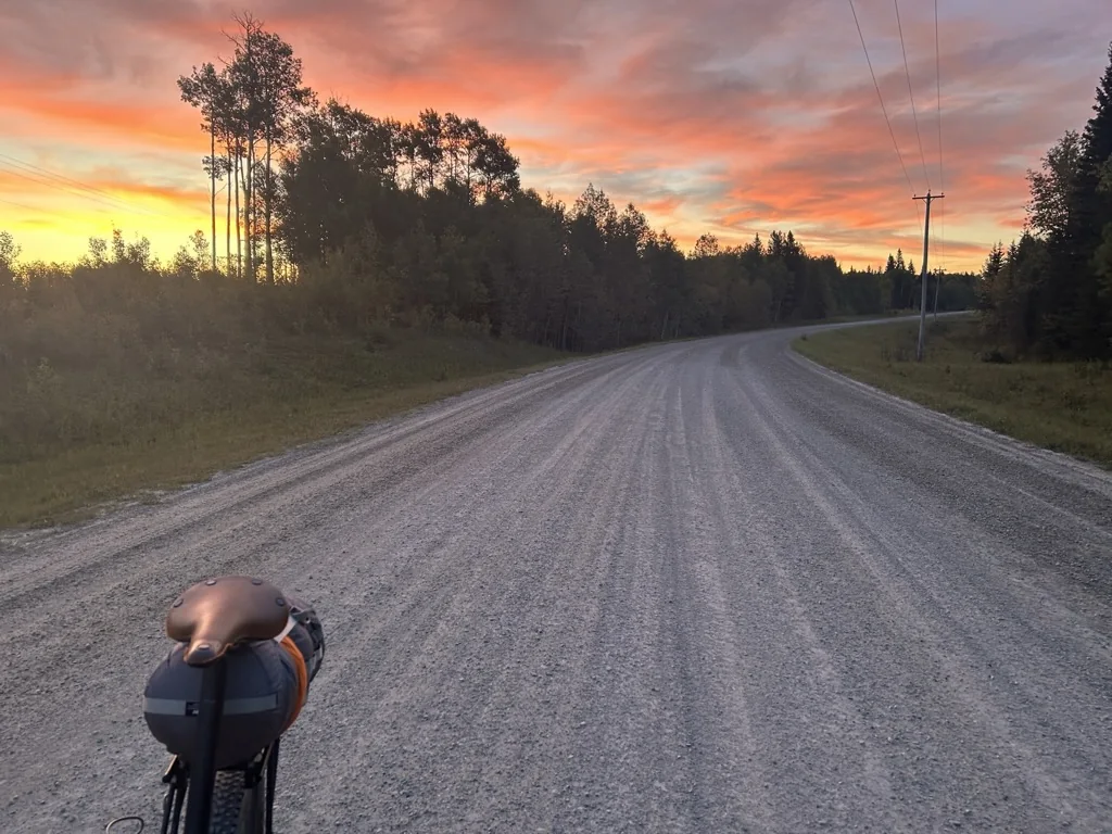
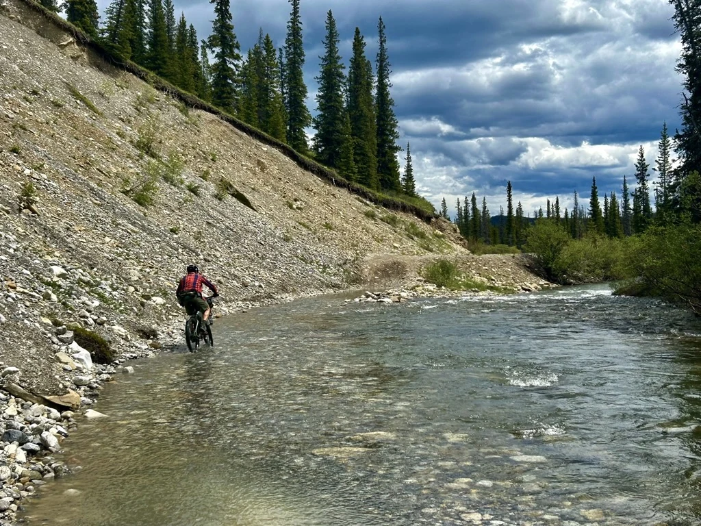
A gravel route in Alberta might include beautiful hardpacked range roads where you can ride side-by-side and talk for kilometres.
It might also include:
- deep fresh gravel
- washboard
- sand
- loose rock
- clay
- old doubletrack
- grassy road allowances
- rough forestry roads
- creek crossings
- short stretches of trail
All of those might appear during the same trip.
So when ABS describes a route, the goal isn't simply to tell you that it is "gravel" or "mountain bike."
We want to gradually build route information that helps answer the more useful question:
Routes Change
One of our favourite things about bikepacking is that routes feel like discoveries. The frustrating thing about bikepacking is that discoveries don't stay frozen in time. Floods remove bridges, wildfires change forests, and roads are decommissioned.
Trails move. Businesses close. Access changes. You get the idea.
Even a route that worked perfectly last summer deserves another look before you ride it this year.
That is why we think route maintenance and stewardship matters almost as much as route creation.
Before heading out on a route in the ABS library, have a look for current Route Alerts and recent rider reports.
And when you come back, tell us what you found. A washed-out bridge that ruined one person's afternoon might become a useful warning for everyone who rides the route afterward. After all, we are a community that relies on one another.
That exchange of information is one of the things we hope ABS can become genuinely useful for.
Report a Route Issue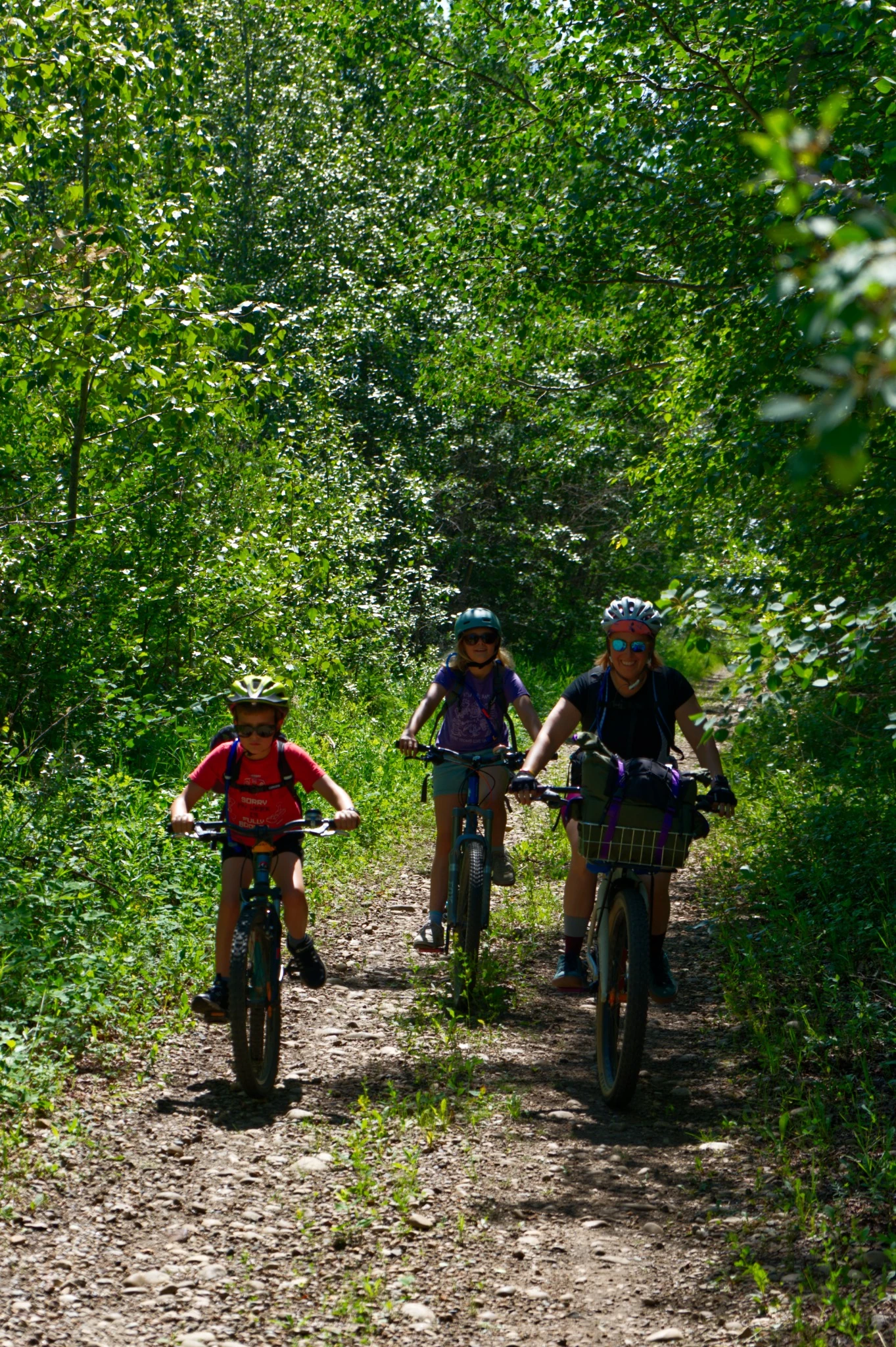
Starting Small Is Still Bikepacking
Your first Alberta bikepacking trip does not need to involve a remote mountain pass or five days without resupply. In fact, a simple overnight trip can teach you almost everything you need to know. It’s also a great way to answer:
Those lessons are easier to learn twenty kilometres from a town than deep in the backcountry. A good first trip might use campgrounds, moderate distances, known water and several ways to shorten the route if needed. Then make the next one a little bigger.
There is no prize for skipping the enjoyable part—the adventure by bike.
A Few Things Worth Checking
We don't think bikepacking needs an enormous pre-trip ritual. However, there are a handful of things we try to understand before leaving.
Go See Some of It
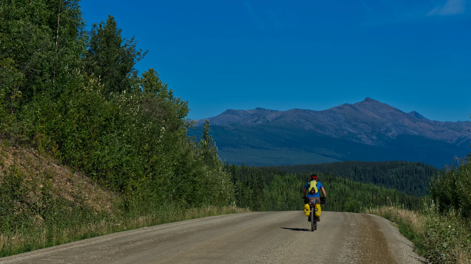
One of the reasons the Alberta Bikepacking Society exists is that we think this province has far more bikepacking potential than its current route network suggests. Not just in the Rockies.
Across the foothills, parkland, prairie, river valleys, badlands, and all the strange transitions between them. There are old roads worth rediscovering, communities worth connecting, existing routes worth supporting, and entirely new journeys still waiting to be figured out.
Some of them will work. Some won't. Some will need to be changed three times before they're worth sharing. That's part of the process.
We hope ABS can make that process a little easier to follow, and eventually make it easier for more people to head out the door with a bike, some camping gear, and a good idea of where they are going.
A route is more than a line on a map. The line is the easy part. The interesting part is everything it connects.