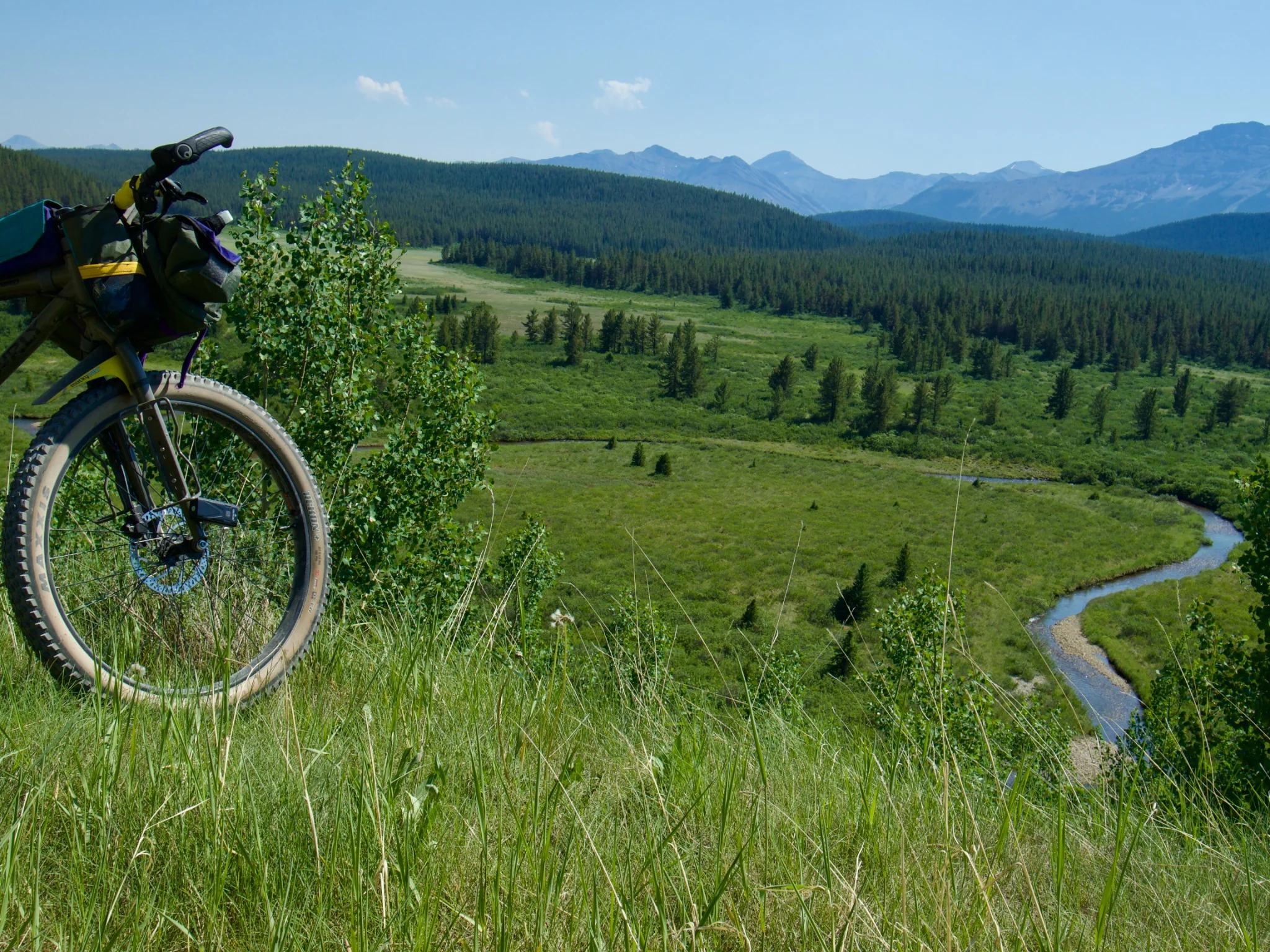
The original idea was the easy part
The concept behind Bighorn to Badlands is fairly simple: build a long bikepacking route that experiences Alberta as more than a mountain backdrop, while starting from a place most people don’t even consider visiting.
The Rockies matter, obviously. They are spectacular.
But Alberta changes dramatically as you move across it. Foothills become parkland. Parkland opens into prairie. River valleys cut through agricultural country. The Red Deer River eventually pulls you toward badlands, coulees, and places that feel completely different from where the route began.
That transition is what interested me.
The goal became a roughly 1,100-kilometre loop connecting as much of that variation as possible without turning it into a highway tour or an endless string of gravel roads.
On a map, that sounds straightforward. But that isn’t always the case.
Once I began connecting the pieces, the route became an ongoing negotiation between the route I wanted to draw and the Alberta that exists.
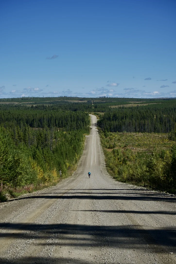
A map can tell you a road exists. That doesn’t mean it works.
Big Hill Springs is one example, but it is far from the only version of the problem.
Maps are incredibly useful when developing a route. So are satellite imagery, historical maps, Strava heatmaps, land-use information, and other riders’ tracks.
None of them equate to tires on the ground.
Some roads slowly turn into farm approaches. Some end at gates. Trails disappear. Bridges shown on old mapping no longer exist, or are no longer safe to cross. The line technically continues, but becomes something I would never describe as a reasonable bikepacking connection.
And occasionally the opposite happens.
Near Rosebud, the route uses an unofficial abandoned rail corridor I already knew about from being there. There are trail sections and old bridges through that area that are much more obvious on the ground than they are on modern maps.
Those discoveries are one of my favourite parts of route building.
You begin looking for a way between two points and stumble onto a piece of old infrastructure that tells part of the history of the place. Suddenly the route is not simply avoiding traffic. It is taking you on an adventure you probably never would have gone on.
That is when route building gets interesting.
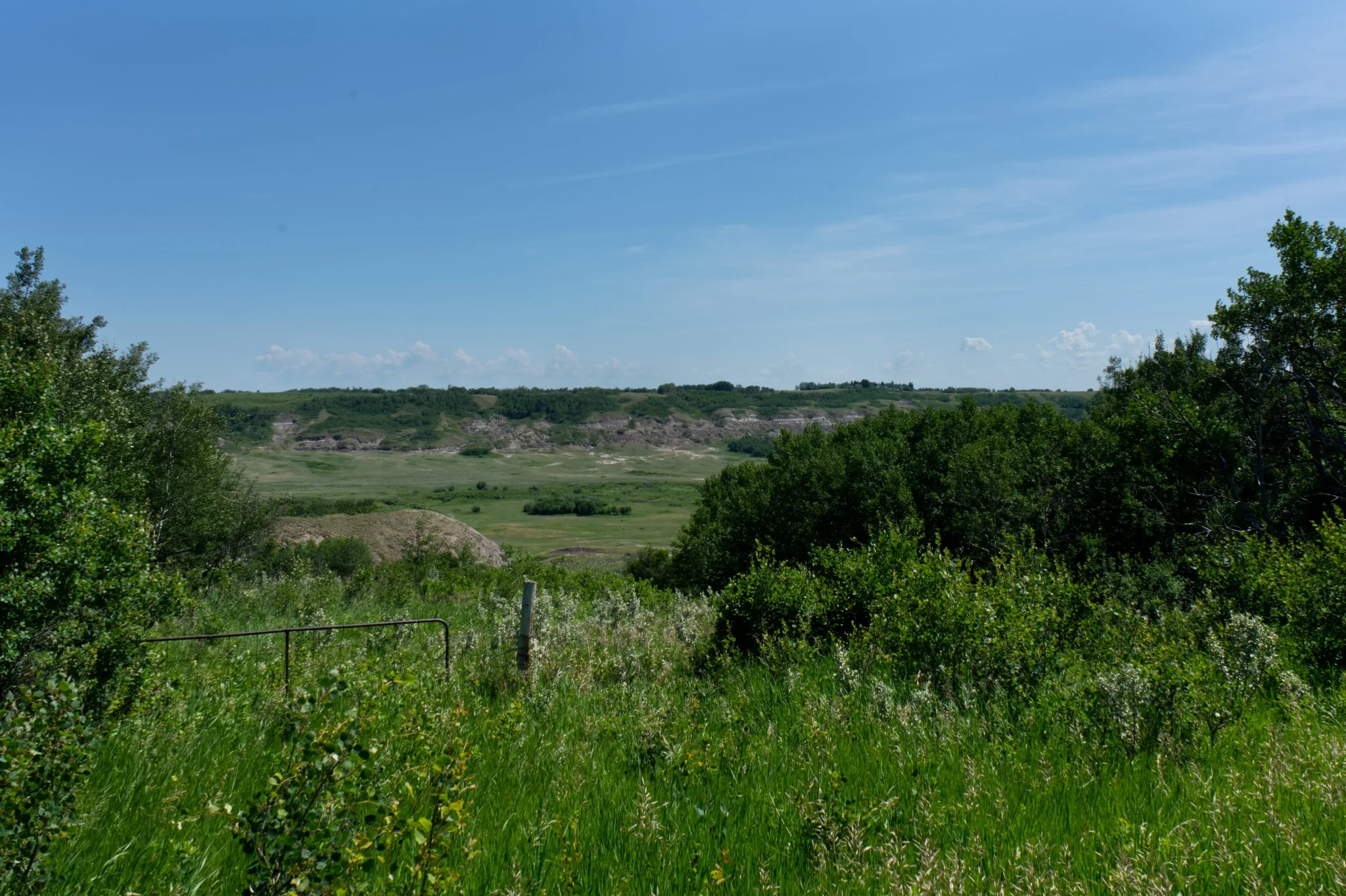
Rivers dictate more of Alberta than I expected
One of the most persistent challenges with Bighorn to Badlands has been crossing major rivers.
You can move almost anywhere you want along one side of a river.
Getting to the other side is another matter.
There are only so many bridges, and even fewer that make sense on a bicycle.
That constraint changed the route repeatedly.
Crossing the Red Deer River around Penhold, for example, was not simply a question of drawing the most direct line east. The route had to get across both the river and the QE2 corridor in a way that was both comfortable and made sense.
Farther east, the river eventually became an asset rather than an obstacle.
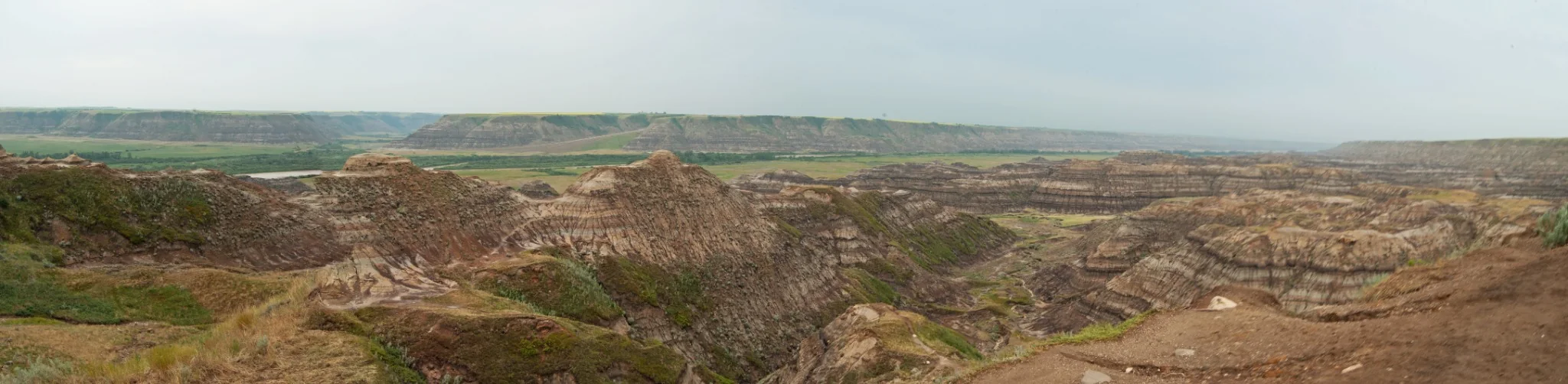
After Dry Island, the route began bouncing along the Red Deer River toward the Bleriot Ferry. Crossing there and continuing toward Horsethief Canyon created one of those connections that feels like it belongs in the route—not because it is the shortest way through, but because it is part of the experience.
Ferries, bridges, and established crossings have become more prominent in the route than originally anticipated.
There are places where a ford might work too. I’m not opposed to river crossings. They can be a completely reasonable part of bikepacking when the conditions and the crossing are known.
What I am reluctant to do is publish a route that depends on fording a river capable of changing depth and flow dramatically through the season, or with major rainfall. I don’t want somebody downloading a GPX and assuming because the line crosses the river, that it is safely crossable.
Those are two very different things.
There are still question marks in the west
The western side of Bighorn to Badlands still contains one of the more interesting unresolved pieces.
Research suggests there may be an old route connecting the Hummingbird area toward the North Ram River country. Historical trail information gives enough evidence to keep investigating it.
But I have not confirmed the connection. This will be a major recon project!
For now it remains a research lead, not a complete route.
That distinction is becoming increasingly important to the development of this project.
It is tempting when building something this large to connect the dots first and worry about the details later. You can very quickly produce an impressive-looking long-distance line that way.
The unanswered questions belong in the route-development process, not disappearing inside the line.
Then there is the problem of water
The mountains create one kind of planning problem. Central Alberta and the badlands create another.
Water can become surprisingly difficult to find.
When you spend enough time staring at an Alberta map, small towns begin to look like obvious resupply points. There is a town name. There are roads. There are houses.
That does not necessarily mean there is anything there for a rider. A community without a store is not much of a resupply stop if you arrive with two empty bottles and no food.
This played a major role in the route east of Rocky Mountain House—the middle portion of Bighorn to Badlands.
I began deliberately favouring slightly larger small towns where research indicates there is actually something useful: a gas station, a convenience store, a grocery store, or perhaps a restaurant.
It sometimes makes the route less direct. That is fine.
This becomes especially important through the drier parts of central Alberta and into the badlands, where natural water can be scarce or absent for long distances.
Resupply is not simply a convenience on those sections. It is part of the route infrastructure. And small communities become critical pieces of the route because of it.
The route keeps getting less elegant
Changing a route doesn’t mean a mistake was made. Bighorn to Badlands has moved repeatedly.
Some connections were abandoned because they involved too much highway. Some looked attractive until I rode them. Some areas became impossible because of access. River crossings forced the line toward specific bridges. Resupply pulled it toward towns I might otherwise have bypassed.
When the route reached Irricana, there was an obvious temptation to continue farther southwest before eventually turning north toward Sundre. However, the landscape, the grid of highways, and the lack of access around Waiparous forced the route in a different direction.
That is route development working.
A complete line and a complete route record are not the same thing.
The best parts are often the things I wasn’t looking for
There is another side to all of this.
Route development can be frustrating, but it is also an excuse to investigate places that normally get passed over.
An abandoned rail grade into Rosebud.
The Bleriot Ferry.
The riding around Dry Island.
Long stretches following the Red Deer River.
Small towns that become important simply because they are the next place where you can fill bottles, buy dinner, or sit somewhere out of the weather.
None of these needs to be the headline destination of a trip.
Together they are becoming the trip.
The route is slowly becoming less about connecting famous places and more about discovering what exists between them.
So why isn’t it finished?
There is now a complete loop on my computer. That does not make it a finished route.
Some sections have been ridden. Others are well understood from research. Some still need field confirmation. The Hummingbird–North Ram connection remains an open question. Access needs to be checked. Water and resupply information needs to be strong enough that another rider can actually plan around it.
And there are probably still a few roads that don’t go through.
For now, Bighorn to Badlands remains a Development route.
That label is not there because I am unsure whether the basic idea works. It is there because a complete line and a complete route record are not the same thing. Before I call it finished, I want to be comfortable that the route does what I am asking another rider to believe it does.
That might mean more riding. It will definitely mean more research. It will probably mean deleting sections I currently like.
Because one of the things to appreciate is that building a route and drawing a line feels like progress.
Sometimes knowing which line to remove is more important.