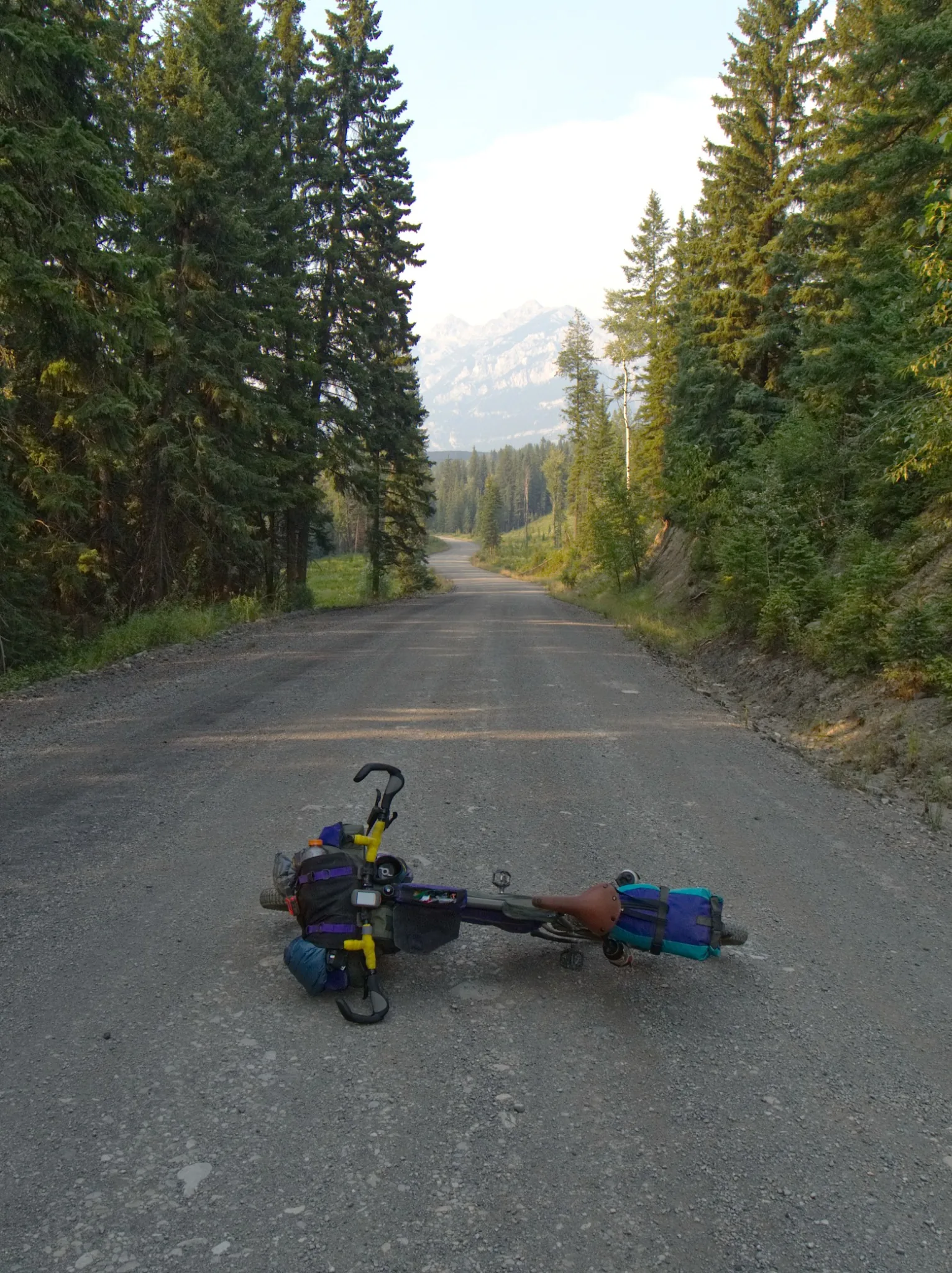
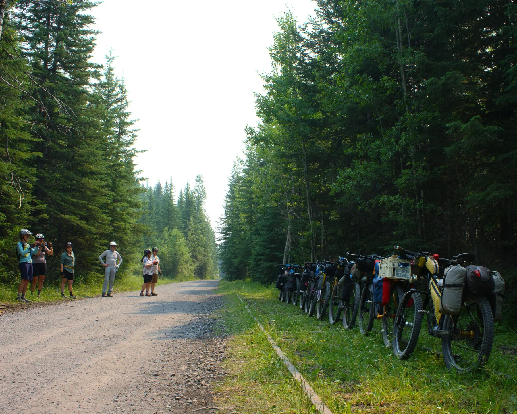
Route conditions
Surface, technical difficulty, remoteness, seasonal considerations and meaningful hazard notes.
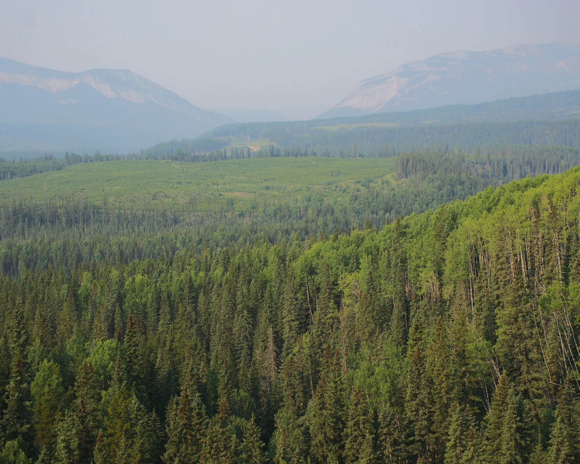
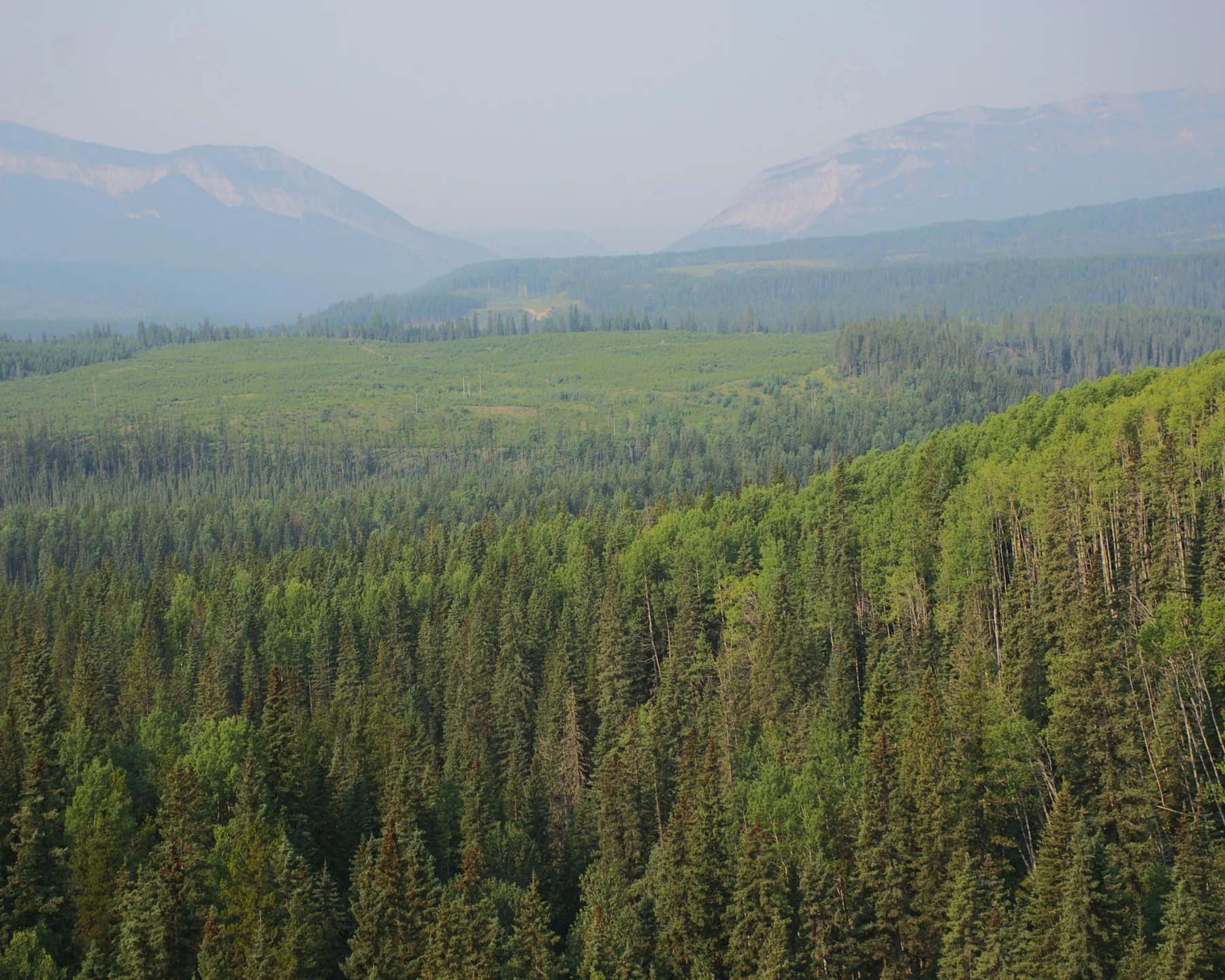
An approximately 1,100 km long-form route linking Alberta’s Bighorn country with the Badlands through a changing mix of landscapes, communities and riding surfaces. Route development and field verification are underway.
Bighorn to Badlands is being developed as an approximately 1,100 km long-form route connecting dramatically different Alberta landscapes and communities.
Development is still underway. The route is being refined through field riding, access checks and the practical work of connecting sections into something that is both compelling and responsible to publish.
Once the route is ready, this space can hold the actual GPX line, resupply points, camping and route notes.
Surface, technical difficulty, remoteness, seasonal considerations and meaningful hazard notes.
Resupply, water, camping, communities, bailout options and other trip-planning information.
Known access issues, closures, permissions and sections where riders need to pay particular attention.
A visible last-verified date and a process for reporting conditions after publication.