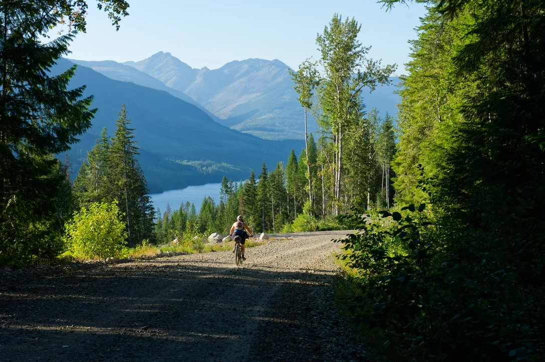
Bikepacker riding a remote mountain road above an Alberta lake
ABS Resource

Rider Safety & Remoteness in Alberta

Planning for the distance between a problem and help.

Alberta-specific guidance Last reviewed August 2026

A remote trip is not automatically unsafe.

It is just less forgiving.

Small problems take longer to solve, weather matters more, mechanical failures carry greater consequences, and the decisions made before leaving home become part of the safety system.

This guide is about managing that margin. It is not a substitute for judgment, first-aid training, local advisories or emergency instructions. Conditions change quickly across Alberta, and each rider remains responsible for deciding whether a route, day, or crossing is appropriate.

Remoteness is not just how far you are from a town. It is how long it may take to turn a problem into help.

Start by redefining remoteness

Distance is only one part of the problem.

A route can pass within a few kilometres of a highway and still be difficult to exit. Another can be deep in the backcountry but follow a road with regular traffic.

For bikepacking, remoteness is better understood as the time and difficulty between where you are and a realistic source of assistance. Terrain, road access, cell coverage, weather, river crossings, time of day, traffic, group size, and the nature of the problem all change that calculation.

Think in layers

ABS route records use remoteness as a planning characteristic because the same mechanical problem or injury has very different consequences on a busy gravel road outside a town than it does on an isolated forestry road several hours from the nearest practical exit.

A useful pre-trip question is not simply, “How remote is this route?” It is: “If something goes wrong here, what is the most realistic way out?”

Communication

Build a communication plan before relying on a device.

Cell service across rural and backcountry Alberta is uneven. Even when a phone shows occasional service, coverage may disappear in river valleys, foothills, forested terrain, or sparsely populated regions.

Satellite communicators and newer phones with satellite communication features can add an important layer, but they do not replace a trip plan. Devices can be damaged, batteries can fail, messages can be delayed, and an SOS does not mean assistance will arrive quickly.

The strongest communication plan is layered: someone at home knows the route and expected timing; the rider carries an appropriate communication device; important information is available offline; and the rider understands what to do if communication fails.

Leave someone enough information to be useful

  • The planned route or track, including any major alternates.
  • Expected start, overnight locations (if known) and finish window.
  • Vehicle or parking information where relevant.
  • The communication method being carried and who will receive routine messages.
  • A clear point at which a delayed check-in should become a concern.
  • Any major planned river crossings, remote sections or known route uncertainties.

A vague message that you are “going bikepacking west of Rocky Mountain House” is much less useful than a shared route and a realistic timeline.

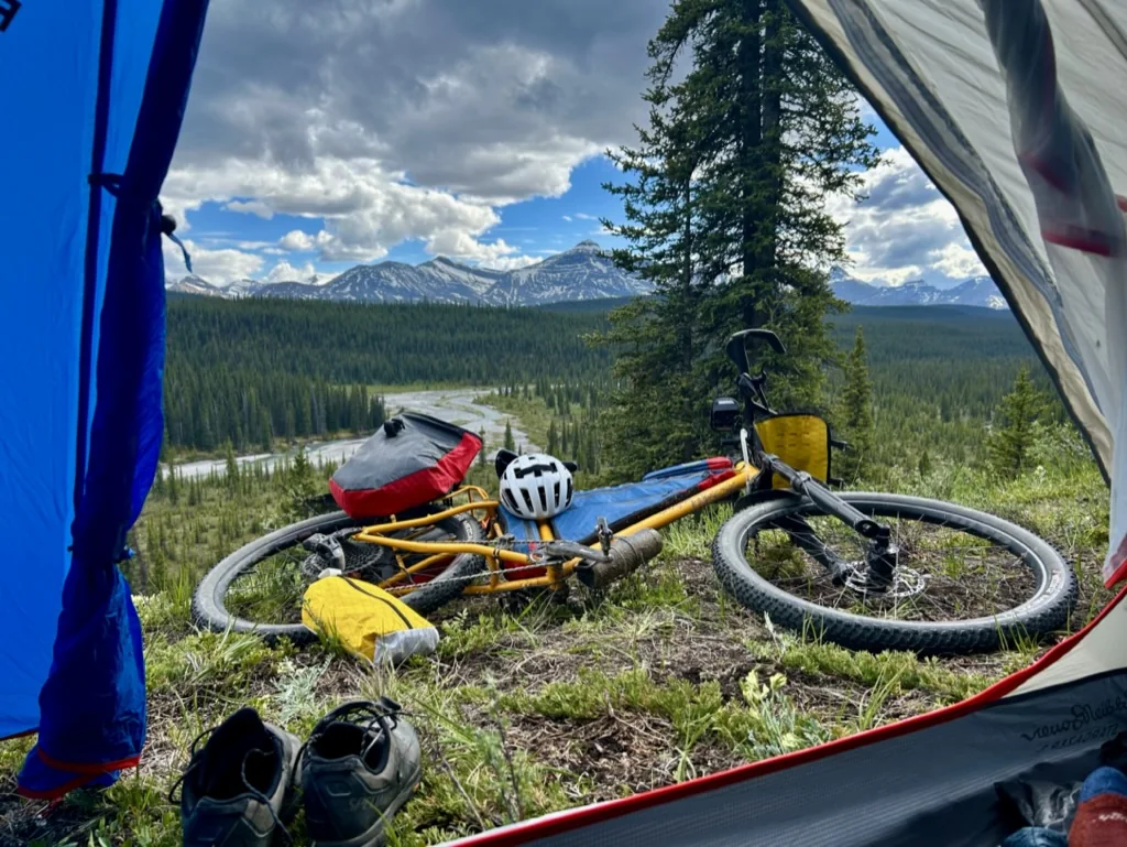
Loaded bike beside a tent at a remote mountain camp
A communication plan matters more when an overnight is far from reliable service and easy exits.
Weather

Weather can turn an ordinary road into a route problem.

Alberta weather can change quickly and the effect depends heavily on where the route travels.

Wind can make open prairie riding exhausting. Thunderstorms can change exposed riding decisions. Heavy rain can turn clay roads into nearly unrideable surfaces, raise creeks and rivers, and make low crossings unsafe. Cold rain in the foothills can create a different problem than the same temperature in town.

Environment and Climate Change Canada issues weather alerts for Alberta, while Alberta Emergency Alerts can carry urgent information about events including wildfire, flood, and tornado hazards. Riders should check current alerts before leaving coverage and again when practical during a trip. [1][2]

The goal is not to avoid every bad forecast. It is to recognize when weather changes the assumptions the route was built around, or your trip was planned around.

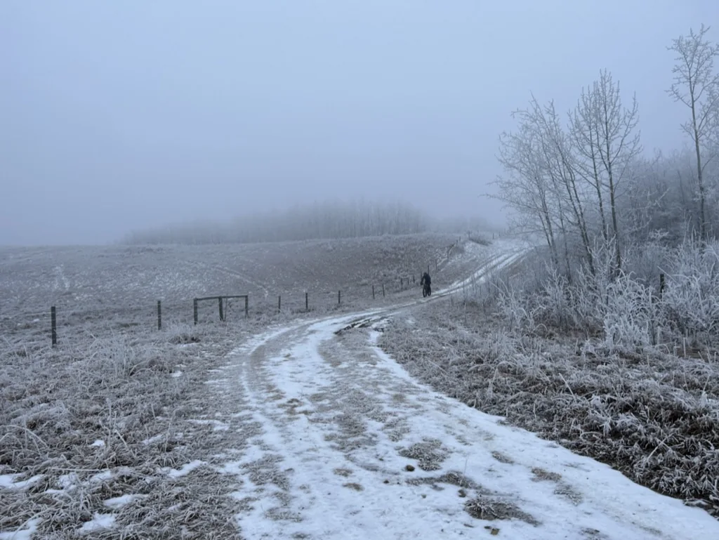
A cyclist on a foggy snow-covered Alberta backroad
Wildfire

Wildfire changes more than the air.

During wildfire season, route planning should include more than checking whether the sky is smoky. Active fires, fire bans, evacuation alerts, road closures, restricted areas, and changing access can affect a route quickly.

Alberta maintains current wildfire information and an Alberta Fire Bans system, and Alberta Parks publishes advisories that can include closures, wildlife notices, trail reports, and fire restrictions. [3][4][5]

A route should never become a reason to enter or remain in an area affected by an evacuation order, closure or official direction to leave. If conditions are changing, the trip plan should be allowed to change with them.

Check more than one layer

  • Active wildfire locations and status.
  • Fire bans and restrictions for the municipality or forest area.
  • Alberta Emergency Alerts and local authority notices.
  • Park, PLUZ or land-manager closures.
  • 511 Alberta for provincial-road closures, incidents and ferry status where relevant.
Wildlife

Wildlife risk is different on a bicycle.

Cyclists move quickly and quietly, which increases the chance of surprising wildlife at close range.

Parks Canada specifically identifies cycling and trail running as higher-risk activities for sudden bear encounters because of speed and quietness. [6]

In bear country, slow down where visibility is limited, make noise around blind corners and dense vegetation, stay alert for fresh sign, and keep bear spray immediately accessible rather than buried in luggage. Parks Canada also advises cyclists not to use earbuds in bear country. [6][7]

Food and scented-item management matters at camp as much as it does while hiking. A bikepacking setup is compact, but that does not change the need to manage food, garbage, and scented items responsibly.

Wildlife guidance varies by species, place, and current conditions. Follow current park or land-manager advisories when they are more specific than general advice.

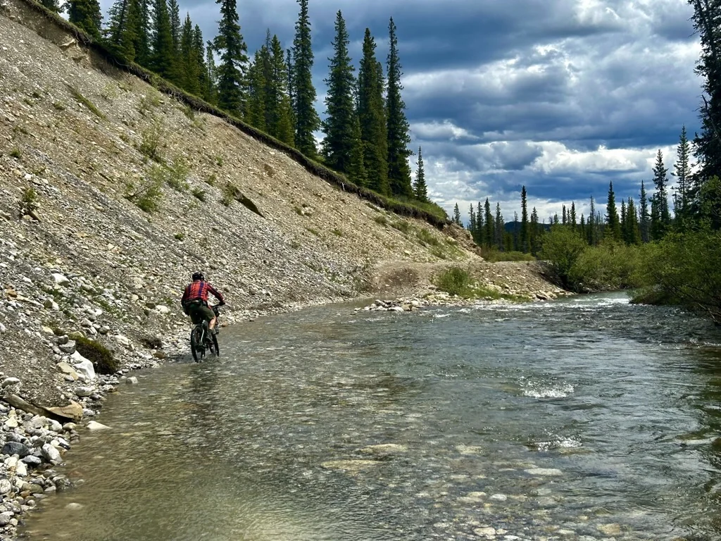
Bikepacker crossing a shallow Alberta river in the foothills
A published line is not proof that a river crossing is safe on the day you arrive.
River crossings

Rivers are decisions, not route features.

A blue line on a map does not describe the crossing you will find. Alberta rivers and creeks can change dramatically with snowmelt, rainfall, and upstream conditions.

A ford that was straightforward for another rider, or on another date, may be inappropriate when you arrive. Published tracks should not be treated as proof that a water crossing is safe.

If a crossing is beyond your comfort level, the correct decision is to turn around or use an alternate. The cost of backtracking is almost always smaller than the cost of committing to a crossing you cannot safely complete.

Working roads

Industrial and resource roads require a different kind of attention.

Forestry, oil and gas, agricultural and other working roads can offer excellent riding, but they are not recreation trails. Traffic may be infrequent and then suddenly heavy. Large vehicles can occupy most of the road, create dust that eliminates visibility, and move faster than expected.

Ride predictably, stay visible, be prepared to get fully off the travelled surface when necessary and avoid assuming that a quiet road will remain quiet. Where posted instructions, closures or industrial controls exist, follow them.

511 Alberta is the official provincial source for road conditions, closures, incidents, and ferry information on roads under provincial responsibility. It will not cover every forestry or municipal road, which is another reason local and land-manager information may still matter. [8]

Official road information

Provincial road conditions, closures, incidents and ferry status.

Open 511 Alberta ↗
Water & resupply

Water and resupply are safety margins.

Running low on food is uncomfortable. Running out of water in a dry part of central or southern Alberta can become a serious problem quickly.

Do not assume that a creek shown on a map will contain usable water, or that a named community has a store. Route planning should distinguish between confirmed sources, seasonal or uncertain natural water, and places where water can actually be purchased or obtained.

Carry capacity should reflect the longest credible dry stretch plus a margin for delay. Heat, wind, reroutes, and slow surfaces can all increase the time between sources.
Mechanicals

Mechanical problems become route problems.

Bikepacking does not require carrying a workshop, but the farther a route moves from services, the more useful it is to be able to solve common failures without assistance.

The exact kit depends on the bike, but riders should know how to repair the failures they are actually equipped for. A spare tube is not useful if you have never installed it. A chain tool is not much help if you do not know how to remove a damaged link.

Plan around consequences, not gear lists

For each critical system—tires, chain, brakes, navigation, lighting, water carrying, and communication—ask yourself what happens if it stops working. The answer may be a repair item, a backup, a conservative route choice or simply an earlier decision to turn around.

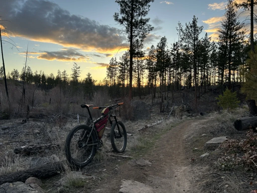
Loaded bike stopped on a rough forest trail at dusk
Far from services, a stopped bike can quickly become a route decision.
Exit planning

Examine potential bailouts before you need them.

A bailout is more than the nearest road on a map. It should lead somewhere useful.

A community, highway, campground, known service, vehicle access point or another route can materially improve the situation.

When conditions deteriorate, riders can then ask whether to continue into the next remote block rather than treating the entire route as one commitment.

This is especially useful late in the day, when weather is changing, when a mechanical issue has developed or when a rider is moving substantially slower than planned.

The most valuable bailout is usually the one chosen before the situation becomes an emergency.

Before leaving

A practical pre-trip safety check.

This is not a packing list. It is a quick check that the route, information and backups still make sense before departure.

01

Route

GPX downloaded, offline maps available, major alternates and bailouts identified.

02

Communication

Trip plan shared; satellite/cell device charged and tested; check-in expectations clear.

03

Weather

Forecast and current alerts checked for every major region the route crosses.

04

Wildfire

Active fires, fire bans, emergency alerts and local closures checked.

05

Access

Current route alerts, land-use restrictions and park/PLUZ advisories reviewed.

06

Water

Longest dry stretches identified; uncertain sources treated as uncertain.

07

Wildlife

Current advisories checked; food storage plan and bear spray appropriate to the area.

08

Mechanical

Repair kit matches the bike and the rider knows how to use it.

09

Timing

Daylight, expected pace and overnight options leave room for delays.

10

Exit plan

Someone knows what should happen if the rider does not check in or finish when expected.

How ABS uses remoteness

ABS does not use remoteness as a badge of difficulty.

It is planning information.

A remote route can still be accessible to a prepared rider. A technically easy route can still have serious consequences if it crosses long distances without water, communication, traffic, or practical bailouts.

That is why ABS separates physical effort, technical difficulty and remoteness rather than collapsing them into a single difficulty label. Riders should be able to see whether the challenge comes from the riding itself, from the terrain, or from how far they may be from help when something changes.

Good route information cannot remove uncertainty. It can make the important uncertainty visible before the trip begins.

Quick reference

Official information to check.

What you are checkingPrimary sourceWhy it matters
Severe weatherEnvironment and Climate Change Canada / WeatherCAN ↗Warnings, watches and severe-weather alerts
Emergency eventsAlberta Emergency Alert ↗Wildfire, flood, tornado and other urgent public alerts
WildfiresAlberta Wildfire ↗Current wildfire locations and status
Fire bansAlberta Fire Bans ↗Local advisories, restrictions and bans
Provincial parksAlberta Parks advisories ↗Closures, trail reports, wildlife and fire advisories
Provincial roads / ferries511 Alberta ↗Closures, incidents, road conditions and ferry information
Bear countryParks Canada / current land-manager guidance ↗Cycling-specific wildlife precautions and current advisories
Sources

Official references used for this guide.

Conditions and advisories change. Follow the current official source when it differs from this page.

  1. Environment and Climate Change Canada / WeatherCAN. Official weather forecasts, warnings and alerts for Alberta.
  2. Government of Alberta — Alberta Emergency Alert and About emergency alerts. Emergency alerts can include wildfire, flood and tornado hazards; Environment and Climate Change Canada is responsible for weather-related alerts.
  3. Government of Alberta — Alberta Wildfire / Wildfire status. Current wildfire locations, perimeters and status.
  4. Alberta Fire Bans. Current advisories, restrictions, bans and related fire information across Alberta.
  5. Alberta Parks — Advisories and Public Safety. Trail reports, closures, wildlife advisories, fire bans and other current visitor information.
  6. Parks Canada — Bear safety. Cycling speed and quietness increase the risk of sudden bear encounters; slow down in limited visibility, make noise and stay alert.
  7. Parks Canada — Bear bulletins and safety guidance. Carry bear spray, keep it accessible, avoid earbuds and manage food/scented items.
  8. 511 Alberta. Official provincial transportation information including road conditions, closures, incidents and ferry service.