Private land
Private land is the clearest case. Permission is required, and the landowner can deny access. A road, track or trail visible on satellite imagery does not create recreational access simply because it is physically rideable. [1]
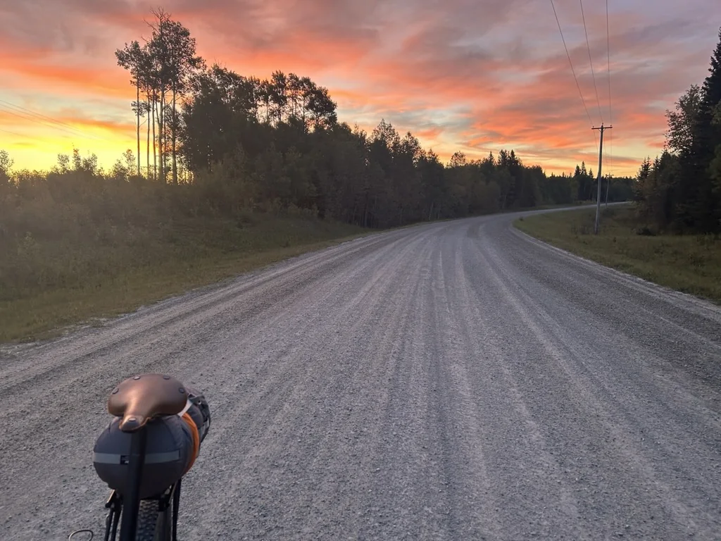
A practical guide for bikepackers.
Alberta’s best bikepacking often happens where different kinds of land meet.
Public land, agricultural leases, working landscapes, municipal roads, trails and private property can sit beside one another. The difficult part is that a line that appears open on a map may have a very different set of rules on the ground.
This guide is meant to help riders ask the right questions before a trip. It is practical guidance, not legal advice, and access conditions can change. Current government notices, land-manager information and on-the-ground conditions should always take priority.
A route is not responsible simply because a map says the line exists.
“Crown land” is useful shorthand, but it can hide important differences. The rules that apply to a bike can change with the land designation, disposition and activity.
Private land is the clearest case. Permission is required, and the landowner can deny access. A road, track or trail visible on satellite imagery does not create recreational access simply because it is physically rideable. [1]
More than five million acres of Alberta public land are held under agricultural dispositions. These lands are still public, but recreational access is governed by the Recreational Access Regulation. The current regulation was amended in March 2025. [2]
For grazing leases and similar agricultural leases, riders generally need to contact the leaseholder before entering. Leaseholders have a duty to allow reasonable recreational access, but the regulation also allows access to be limited under specific conditions. Those conditions can include livestock, unharvested crops, camping, fire bans and, particularly relevant to bikepackers, recreational users who are not on foot. [2][3]
Not every agricultural disposition works the same way. Some shorter-term licences and permits do not require prior contact, although conditions can still apply. Alberta’s Recreation Access on Agricultural Public Lands web map is the best starting point for identifying the disposition, contact information and current access conditions. [3][4]
Public Land Use Zones (PLUZs) are public-land areas managed with specific recreation rules. They are not simply open-use areas. Each PLUZ can have its own permitted activities, designated trails, seasonal restrictions and closures. Alberta currently identifies 18 PLUZs. [5]
For cyclists, the important principle is simple: check the specific zone and trail rules before assuming a road or trail is legal for bicycle travel. On designated provincial trails, only allowed activities may be used, and posted notices and closures must be followed. [5][6]
Provincial parks, national parks, Indigenous reserves, Métis Settlements and other jurisdictions operate under different access systems. Do not carry Crown-land assumptions into them. Alberta’s agricultural public-land guidance explicitly notes that permission is required before entering or crossing Indian reserves and Métis Settlements. [7]
This is one of the most important ideas for Alberta bikepacking. Public ownership and unrestricted recreational access are not the same thing.
Agricultural public land is a good example. A leaseholder does not own the Crown land, but they manage the agricultural disposition and have defined rights and responsibilities under the Recreational Access Regulation. Riders also have responsibilities: make required contact, follow conditions, avoid damage, leave gates as found and respect livestock, crops and other land uses. [2][3]
Likewise, a PLUZ can be public land while still restricting where a bicycle may travel. The presence of a trail on an app, an old map or a heatmap does not override a current closure, designation or posted restriction. [5][6]
The useful question is not “Is this public land?” It is “What access rules apply to this exact piece of land, for this activity, right now?”
Route development eventually produces situations where the paperwork, mapping and physical landscape do not line up neatly.
A mapped corridor may appear public, yet a rider arrives to new fencing and No Trespassing signs. An old trail may exist in historic mapping but disappear into vegetation. A bridge may still be shown in a dataset long after it becomes unsafe. A road may turn into a farm approach even though the line continues on the screen.
For an individual rider, that may trigger more research. For ABS route publication, the standard should be higher. A disputed or unclear connection is treated as unresolved until access can be confirmed through an appropriate source and, where necessary, field verification.
That means ABS will not publish instructions telling riders to ignore a fence or sign because a mapping layer appears to support access. The responsible next step is to document the conflict, check the land status and current rules, contact the appropriate land manager or leaseholder where required, and reroute if the uncertainty cannot be resolved.
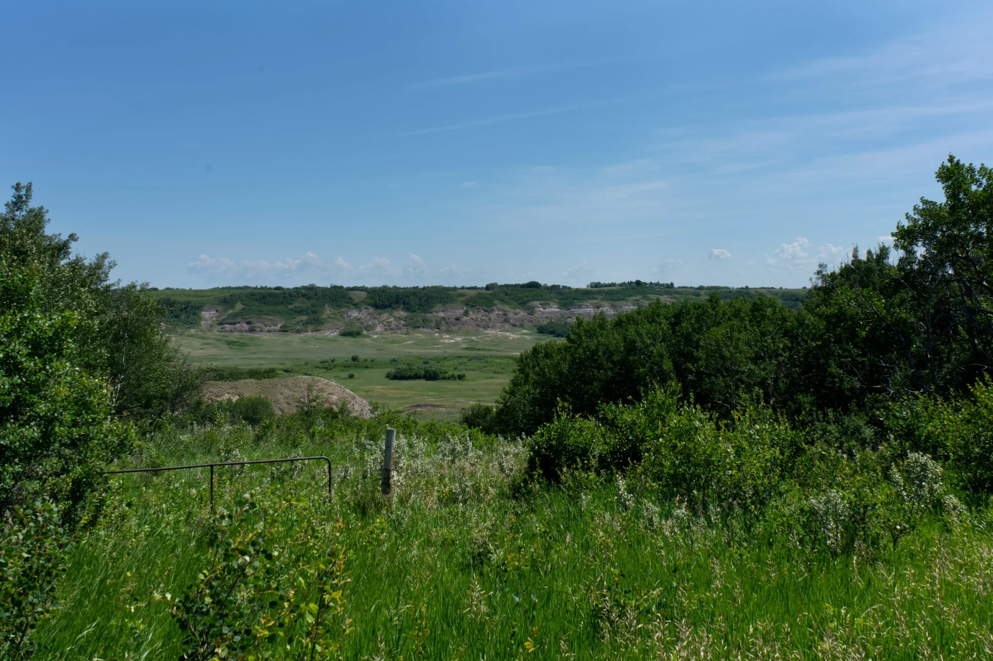
The 2025 Recreational Access Regulation matters to bikepackers because bicycle travel is not treated the same as travel on foot in every circumstance. Alberta’s current leaseholder guidance specifically lists users who are “not on foot” among the conditions under which a leaseholder can limit access. [2]
That does not mean bicycles are automatically prohibited on agricultural public land. It means a route developer should not assume that public agricultural land creates an automatic through-route for a bike. The disposition and its current conditions need to be checked.
If contact is required, riders should plan ahead. Alberta advises recreational users to contact the leaseholder before accessing a lease and to allow time for a response. Users should be prepared to describe the activity, timing, location, group size and contact information. If contact cannot be made, the province directs users to the local rangeland agrologist rather than simply proceeding. [3]
For long-distance route design, this creates a practical issue: a connection that requires every rider to negotiate uncertain bicycle access may be a poor choice for a permanent published route, even if access can sometimes be arranged.
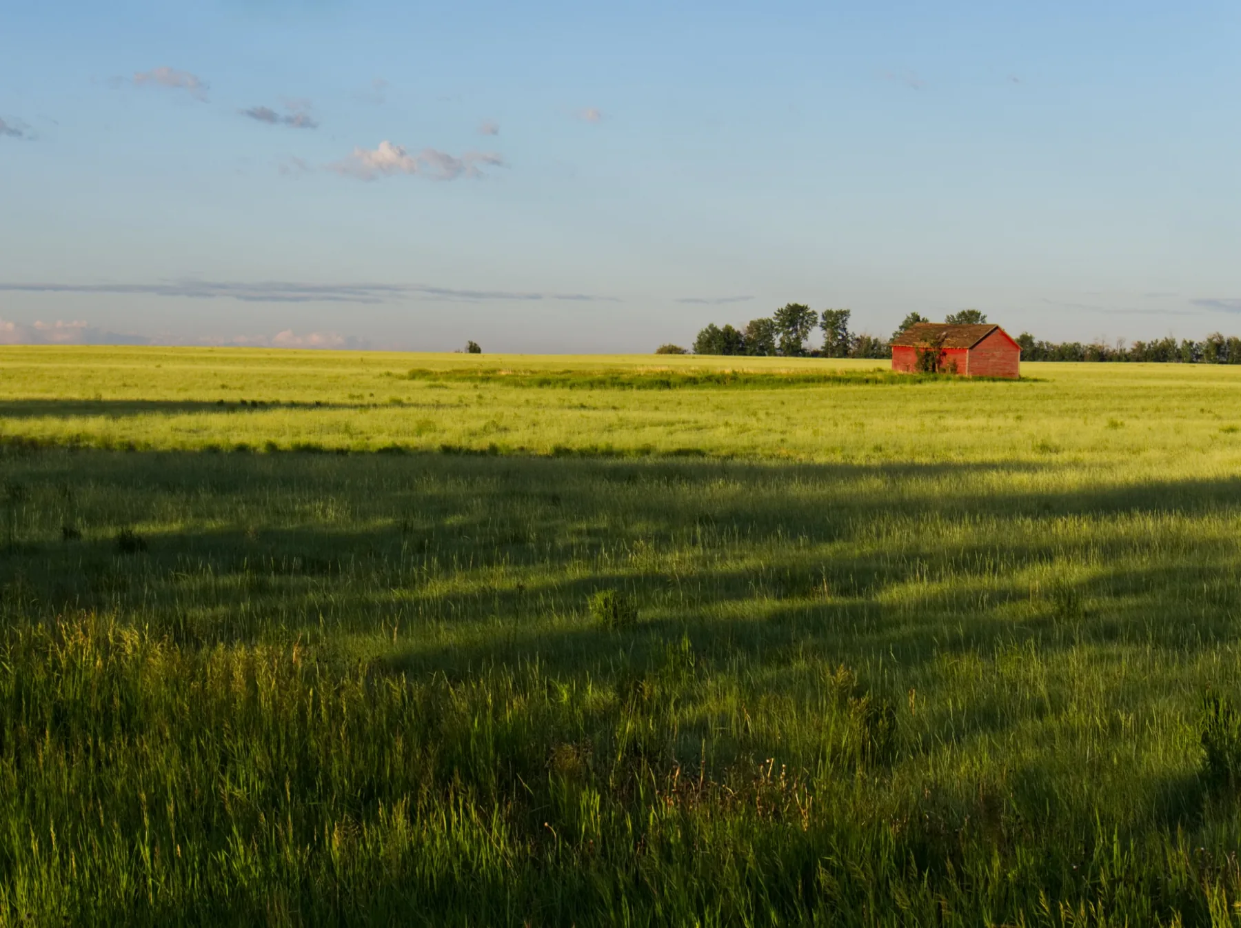
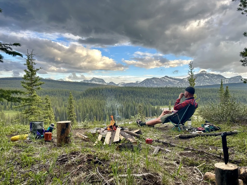
Legal passage through an area does not automatically mean legal camping.
On agricultural public land, camping is one of the activities a leaseholder can limit or deny. [2][8]
Random camping rules also vary across public land, and the Public Lands Camping Pass applies in designated pass areas. Having a pass does not override other access requirements: where the land is under an agricultural disposition, the Recreational Access Regulation still applies. [9]
This is why ABS route records separate the route line from camping information. A rider may be able to travel through a corridor while still needing to continue to a campground, recreation site, community or another location where overnight use is actually appropriate.
The goal is not perfect certainty. It is making the uncertainty visible before another rider is asked to depend on the line.
Determine whether the line crosses private land, agricultural public land, a PLUZ, park/protected area or another jurisdiction.
Use Alberta’s recreation maps, land-use information, trail notices and the Recreation Access on Agricultural Public Lands map rather than relying only on consumer mapping apps.
Bicycle access, camping and motorized access may each have different rules.
Closures, livestock, crops, fire restrictions, seasonal rules and trail designations can change.
If the agricultural disposition requires leaseholder contact, do it before the trip, and keep a record of the attempt.
If the ground contradicts the plan, stop and investigate rather than assuming the map is right.
A source can establish legal or administrative status, but it cannot tell you whether a trail is still rideable.
If something remains unresolved, label it as unresolved or keep the route in Development rather than turning an assumption into navigation advice.
Responsible access is not simply Leave No Trace language added to the bottom of a route page.
For ABS, a good route should avoid putting riders, landowners, leaseholders or land managers into an avoidable conflict. It should not depend on a rider arguing about access at a fence. It should not turn an old GPS trace into evidence of permission. And it should not hide an unresolved land-use question because the alternative line is less elegant.
Sometimes the correct route-development decision is to keep researching. Sometimes it is to contact the responsible party. Sometimes it is to wait for a field check.
And sometimes the correct decision is simply to go another way.
| Land / situation | What to assume | Best next step |
|---|---|---|
| Private land | No recreational access without permission | Get landowner permission or reroute |
| Agricultural public lease | Public land, but access conditions apply | Check Alberta RecAccess map; contact leaseholder when required |
| PLUZ / provincial trail | Rules vary by zone and trail | Check current PLUZ map, designated use and closures |
| Camping on public land | Travel access does not guarantee camping access | Check camping rules, pass area and disposition |
| Fence / No Trespassing sign conflicts with map | Access is unresolved | Stop, document, verify land status and contact the appropriate authority |
| Historic or unmapped trail | Existence and legal access are both unconfirmed | Research first; field-check before publication |
Access rules can change. Follow the current Government of Alberta source when it differs from this page.